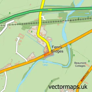
This Payhembury street map is a detailed vector street map covering a 750m x 750m area. Select a larger area to create and download your own vector street map of Payhembury.
The 750-metre map sample for Payhembury covers 126 mapped buildings and approximately 8.7 km of road detail, of which 4 named roads are named. The immediate area includes 1 school and 1 pub. The wider area around Payhembury features 2 tourism points of interest and 1 food and drink venue. To create a larger or custom map of Payhembury, the map builder lets you define your own coverage area and download editable SVG, PDF and PNG files.
Create a larger editable map of Payhembury
Choose any area you need and generate a high-quality vector map instantly. Perfect for print, planning, design, business and personal use.

This Payhembury street map in Devon is available as downloadable SVG, PDF and PNG map files, or as a printed map for planning, business, display, education, local information and design work. You can also create a larger custom map area using the map selector.
What this Payhembury map sample shows
Payhembury lies within Payhembury Cp parish, part of Tale Vale ward in the East Devon District local authority area. The postcode geography for this area includes the EX postcode area, the EX14 postcode district and the EX14 3 postcode sector. Residents fall under the Nhs Devon Integrated Care Board for NHS services.
Local features near Payhembury
Within 2 milesAmenities and services in and around Payhembury.
Administrative and postcode information for Payhembury
Payhembury lies within Payhembury Cp parish, part of Tale Vale ward in the East Devon District local authority area. The postcode geography for this area includes the EX postcode area, the EX14 postcode district and the EX14 3 postcode sector. Residents fall under the Nhs Devon Integrated Care Board for NHS services.
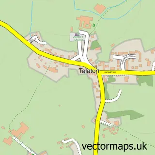
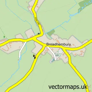
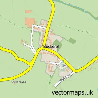
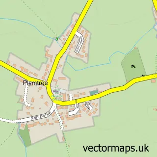
Nearby street map samples around Payhembury

More street maps in Devon
750 metre map area coverage
Boundary, postcode and point of interest information for the 750m x 750m rectangle centred on this sample map.
Boundaries containing map centre
Constituency: Honiton and Sidmouth Co Const
County: Devon County
District: East Devon District
Icb: NHS Devon ICB
Parish: Payhembury CP
Police Force: devon and cornwall
Postcode District: EX14
Postcode Sector: EX14 3
Ward: Tale Vale Ward
Nearby boundaries intersecting sample
No additional intersecting boundaries found.
Postcode coverage
POI category counts
Anglican Church: 1
Beauty Salon: 1
Convenience Store: 1
Elementary School: 1
Landmark And Historical Building: 1
Music Venue: 1
Park: 1
Post Office: 1
Pub: 1
Sports Club And League: 1
Sample points of interest
- St Mary the Virgin
- The Studio hair & beauty
- Payhembury Provisions
- Payhembury Church of England Primary School
- Payhembury Village Hall
- Caroline’s Kitchen
- Payhembury Playing Fields
- Broadhembury Post Office
- Six Bells Inn Payhembury
- Payhembury Tennis Club
Create a larger editable map of Payhembury
This sample shows only a 750 metre area. To create a larger map of Payhembury, use our map builder to choose your own coverage area, add titles and download editable SVG, PDF and PNG files.
Create a custom map of Payhembury