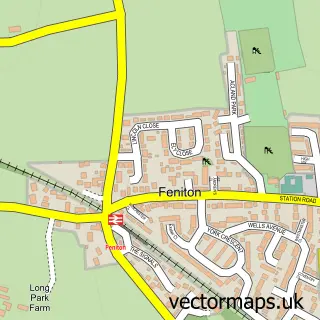
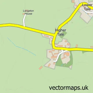
This Fenny Bridges street map is a detailed vector street map covering a 750m x 750m area. Select a larger area to create and download your own vector street map of Fenny Bridges.
The 750-metre map sample for Fenny Bridges covers 72 mapped buildings and approximately 11.6 km of road detail, of which 2 named roads are named. The immediate area includes 1 MOT station, with 3 within 2 miles. The wider area around Fenny Bridges features 1 hotel. To create a larger or custom map of Fenny Bridges, the map builder lets you define your own coverage area and download editable SVG, PDF and PNG files.
Create a larger editable map of Fenny Bridges
Choose any area you need and generate a high-quality vector map instantly. Perfect for print, planning, design, business and personal use.

This Fenny Bridges street map in Devon is available as downloadable SVG, PDF and PNG map files, or as a printed map for planning, business, display, education, local information and design work. You can also create a larger custom map area using the map selector.
What this Fenny Bridges map sample shows
Fenny Bridges lies within Ottery St. Mary Cp parish, part of Ottery St Mary ward in the East Devon District local authority area. The postcode geography for this area includes the EX postcode area, the EX11 postcode district and the EX11 1 postcode sector. Residents fall under the Nhs Devon Integrated Care Board for NHS services.
Local features near Fenny Bridges
Within 2 milesAmenities and services in and around Fenny Bridges.
Administrative and postcode information for Fenny Bridges
The local authority covering Fenny Bridges is East Devon District, within the county of Devon. The settlement lies within Ottery St Mary ward and Ottery St. Mary Cp civil parish. The EX11 postcode district and EX11 1 postcode sector serve the immediate area. NHS provision in the area is delivered through Royal Devon University Healthcare Nhs Foundation Trust.
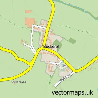
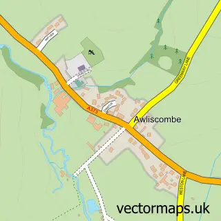
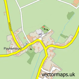
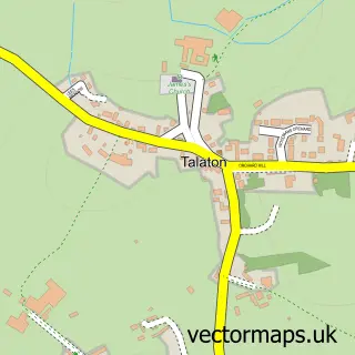
Nearby street map samples around Fenny Bridges

More street maps in Devon
750 metre map area coverage
Boundary, postcode and point of interest information for the 750m x 750m rectangle centred on this sample map.
Boundaries containing map centre
Constituency: Honiton and Sidmouth Co Const
County: Devon County
District: East Devon District
Icb: NHS Devon ICB
Parish: Feniton CP, Ottery St. Mary CP
Police Force: devon and cornwall
Postcode District: EX14
Postcode Sector: EX14 3
Ward: Ottery St. Mary Ward
Nearby boundaries intersecting sample
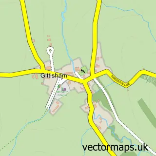
Parish: Gittisham CP
Postcode District: EX11
Postcode Sector: EX11 1
Ward: Feniton Ward
Postcode coverage
POI category counts
Antique Store: 1
Automotive Repair: 1
Bed And Breakfast: 1
Caterer: 1
Education: 1
Hotel: 1
Inn: 1
Professional Services: 1
Used Car Dealer: 1
Sample points of interest
- Alexander Paul Kitchens
- Curt Willis Motors
- Greyhound Country Inn
- Milkshed Catering
- The Exeter Group
- The Five Oaks, Holiday Accommodation
- Greyhound Country Inn
- C Plant Services Devon
- Rydon Car Dealers
Create a larger editable map of Fenny Bridges
This sample shows only a 750 metre area. To create a larger map of Fenny Bridges, use our map builder to choose your own coverage area, add titles and download editable SVG, PDF and PNG files.
Create a custom map of Fenny Bridges