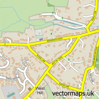
This Ottery St Mary street map is a detailed vector street map covering a 750m x 750m area. Select a larger area to create and download your own vector street map of Ottery St Mary.
The 750-metre map sample for Ottery St Mary covers 471 mapped buildings and approximately 18.9 km of road detail, of which 47 named roads are named. The immediate area includes 1 GP surgery, 7 pubs and 2 MOT stations, with 5 within 2 miles. The wider area around Ottery St Mary features 1 tourism point of interest, 18 food and drink venues and 2 hotels. To create a larger or custom map of Ottery St Mary, the map builder lets you define your own coverage area and download editable SVG, PDF and PNG files.
Create a larger editable map of Ottery St Mary
Choose any area you need and generate a high-quality vector map instantly. Perfect for print, planning, design, business and personal use.

This Ottery St Mary street map in Devon is available as downloadable SVG, PDF and PNG map files, or as a printed map for planning, business, display, education, local information and design work. You can also create a larger custom map area using the map selector.
What this Ottery St Mary map sample shows
Ottery St Mary lies within Ottery St. Mary Cp parish, part of Ottery St Mary ward in the East Devon District local authority area. The postcode geography for this area includes the EX postcode area, the EX11 postcode district and the EX11 1 postcode sector. Residents fall under the Nhs Devon Integrated Care Board for NHS services.
Local features near Ottery St Mary
Within 2 milesAmenities and services in and around Ottery St Mary.
Administrative and postcode information for Ottery St Mary
The local authority covering Ottery St Mary is East Devon District, within the county of Devon. The settlement lies within Ottery St Mary ward and Ottery St. Mary Cp civil parish. The EX11 postcode district and EX11 1 postcode sector serve the immediate area. NHS provision in the area is delivered through Royal Devon University Healthcare Nhs Foundation Trust.
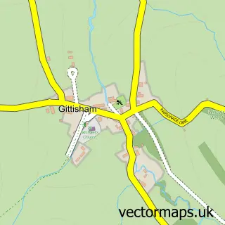
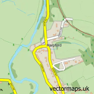
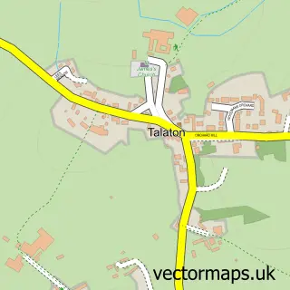
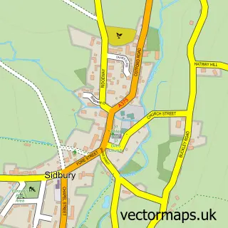
Nearby street map samples around Ottery St Mary


More street maps in Devon
750 metre map area coverage
Boundary, postcode and point of interest information for the 750m x 750m rectangle centred on this sample map.
Boundaries containing map centre
Constituency: Honiton and Sidmouth Co Const
County: Devon County
District: East Devon District
Icb: NHS Devon ICB
Parish: Ottery St. Mary CP
Police Force: devon and cornwall
Postcode District: EX11
Postcode Sector: EX11 1
Ward: Ottery St. Mary Ward
Nearby boundaries intersecting sample
No additional intersecting boundaries found.
Postcode coverage
POI category counts
Pub: 7
Cafe: 6
Financial Service: 6
Professional Services: 6
Real Estate Agent: 6
Beauty Salon: 5
Art Gallery: 4
Charity Organization: 4
Banks: 3
Convenience Store: 3
Sample points of interest
- Ottery St Mary Parish Church
- Buy vintage,eco friendly,recycled collectibles and antiques in Ottery.
- Hind Street Gallery
- Mike Stevens
- The Gallery at Hind Street
- The Georgian House - Ottery Framers
- Bargainarts
- The Sewing Room
- MFG - Ottery Service Station (Chartman)
- Natwest
- Lovells Garage Ltd
- Downs Motors
Create a larger editable map of Ottery St Mary
This sample shows only a 750 metre area. To create a larger map of Ottery St Mary, use our map builder to choose your own coverage area, add titles and download editable SVG, PDF and PNG files.
Create a custom map of Ottery St Mary