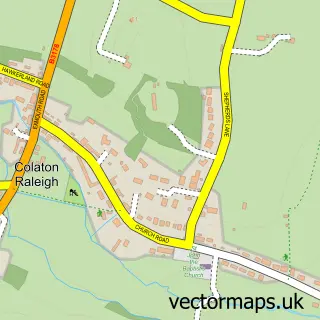
This Tipton St John street map is a detailed vector street map covering a 750m x 750m area. Select a larger area to create and download your own vector street map of Tipton St John.
The 750-metre map sample for Tipton St John covers 180 mapped buildings and approximately 15.7 km of road detail, of which 11 named roads are named. The immediate area includes 1 pub and 1 MOT station, with 2 within 2 miles. The wider area around Tipton St John features 1 food and drink venue. To create a larger or custom map of Tipton St John, the map builder lets you define your own coverage area and download editable SVG, PDF and PNG files.
Create a larger editable map of Tipton St John
Choose any area you need and generate a high-quality vector map instantly. Perfect for print, planning, design, business and personal use.

This Tipton St John street map in Devon is available as downloadable SVG, PDF and PNG map files, or as a printed map for planning, business, display, education, local information and design work. You can also create a larger custom map area using the map selector.
What this Tipton St John map sample shows
Tipton St John lies within Ottery St. Mary Cp parish, part of Ottery St Mary ward in the East Devon District local authority area. The postcode geography for this area includes the EX postcode area, the EX10 postcode district and the EX10 0 postcode sector. Residents fall under the Nhs Devon Integrated Care Board for NHS services.
Local features near Tipton St John
Within 2 milesAmenities and services in and around Tipton St John.
Administrative and postcode information for Tipton St John
Tipton St John lies within Ottery St. Mary Cp parish, part of Ottery St Mary ward in the East Devon District local authority area. The postcode geography for this area includes the EX postcode area, the EX10 postcode district and the EX10 0 postcode sector. Residents fall under the Nhs Devon Integrated Care Board for NHS services.
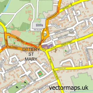
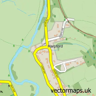
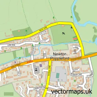
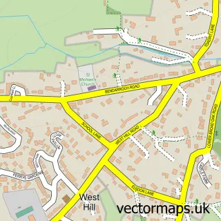
Nearby street map samples around Tipton St John


More street maps in Devon
750 metre map area coverage
Boundary, postcode and point of interest information for the 750m x 750m rectangle centred on this sample map.
Boundaries containing map centre
Constituency: Honiton and Sidmouth Co Const
County: Devon County
District: East Devon District
Icb: NHS Devon ICB
Parish: Ottery St. Mary CP
Police Force: devon and cornwall
Postcode District: EX10
Postcode Sector: EX10 0
Ward: Ottery St. Mary Ward
Nearby boundaries intersecting sample
Postcode District: EX11
Postcode Sector: EX11 1
Postcode coverage
POI category counts
Automotive Repair: 2
Antique Store: 1
Community Center: 1
Community Services Non Profits: 1
Gardener: 1
Music School: 1
Pub: 1
Retirement Home: 1
Taxi Service: 1
Train Station: 1
Sample points of interest
- Violet Grey Decorative Gardens
- The Tipton Garage
- Tipton Garage
- Tipton St John Community Hall
- Tipton St John Playing Field Association
- PR Gardening Services
- Becky Williamson Music Teacher
- The Golden Lion
- Sundial Care Home
- Bay Travel Airport Transfers And Taxis
- Tipton St Johns railway station
Create a larger editable map of Tipton St John
This sample shows only a 750 metre area. To create a larger map of Tipton St John, use our map builder to choose your own coverage area, add titles and download editable SVG, PDF and PNG files.
Create a custom map of Tipton St John