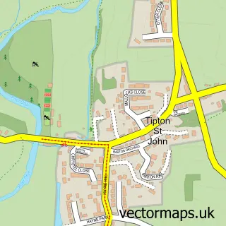
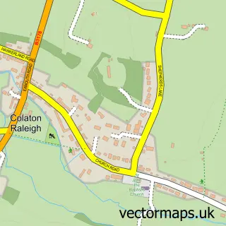
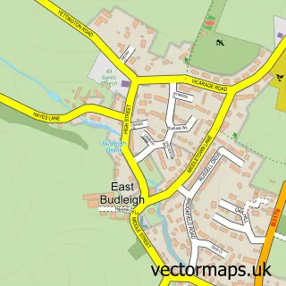
This Newton Poppleford street map is a detailed vector street map covering a 750m x 750m area. Select a larger area to create and download your own vector street map of Newton Poppleford.
The 750-metre map sample for Newton Poppleford covers 343 mapped buildings and approximately 10.1 km of road detail, of which 21 named roads are named. The immediate area includes 1 school, 1 pub and 1 MOT station, with 2 within 2 miles. The wider area around Newton Poppleford features 1 food and drink venue and 1 hotel. To create a larger or custom map of Newton Poppleford, the map builder lets you define your own coverage area and download editable SVG, PDF and PNG files.
Create a larger editable map of Newton Poppleford
Choose any area you need and generate a high-quality vector map instantly. Perfect for print, planning, design, business and personal use.

This Newton Poppleford street map in Devon is available as downloadable SVG, PDF and PNG map files, or as a printed map for planning, business, display, education, local information and design work. You can also create a larger custom map area using the map selector.
What this Newton Poppleford map sample shows
Newton Poppleford lies within Newton Poppleford And Harpford Cp parish, part of Newton Poppleford & Harpford ward in the East Devon District local authority area. The postcode geography for this area includes the EX postcode area, the EX10 postcode district and the EX10 0 postcode sector. Residents fall under the Nhs Devon Integrated Care Board for NHS services.
Local features near Newton Poppleford
Within 2 milesAmenities and services in and around Newton Poppleford.
Administrative and postcode information for Newton Poppleford
Newton Poppleford lies within Newton Poppleford And Harpford Cp parish, part of Newton Poppleford & Harpford ward in the East Devon District local authority area. The postcode geography for this area includes the EX postcode area, the EX10 postcode district and the EX10 0 postcode sector. Residents fall under the Nhs Devon Integrated Care Board for NHS services.
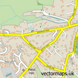
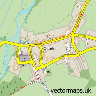
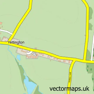
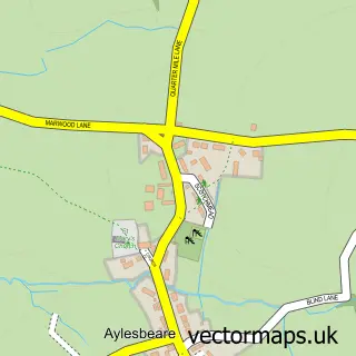
Nearby street map samples around Newton Poppleford

More street maps in Devon
750 metre map area coverage
Boundary, postcode and point of interest information for the 750m x 750m rectangle centred on this sample map.
Boundaries containing map centre
Constituency: Honiton and Sidmouth Co Const
County: Devon County
District: East Devon District
Icb: NHS Devon ICB
Parish: Newton Poppleford and Harpford CP
Police Force: devon and cornwall
Postcode District: EX10
Postcode Sector: EX10 0
Ward: Newton Poppleford & Harpford Ward
Nearby boundaries intersecting sample
No additional intersecting boundaries found.
Postcode coverage
POI category counts
Post Office: 3
Dj Service: 2
Parking: 2
Assisted Living Facility: 1
Bridal Shop: 1
British Restaurant: 1
Church Cathedral: 1
Construction Services: 1
Doctor: 1
Dog Trainer: 1
Sample points of interest
- Charity Earnshaw - Home Care Agency
- S & P Diamond Events
- Moore's Restaurant
- St Luke's Church, Newton Poppleford
- Exeter Liquid Screeders
- Sidmouth Discos - White Rabbit
- White Rabbit Discos
- Pebble Brook Clinic & Hub
- Contemplating Canines
- Newton Poppleford Primary School
- Oak Tree Garage
- Your Perfect Night
Create a larger editable map of Newton Poppleford
This sample shows only a 750 metre area. To create a larger map of Newton Poppleford, use our map builder to choose your own coverage area, add titles and download editable SVG, PDF and PNG files.
Create a custom map of Newton Poppleford