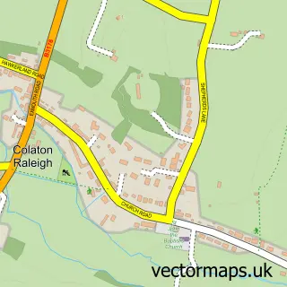
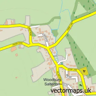
This East Budleigh street map is a detailed vector street map covering a 750m x 750m area. Select a larger area to create and download your own vector street map of East Budleigh.
The 750-metre map sample for East Budleigh covers 252 mapped buildings and approximately 12.8 km of road detail, of which 20 named roads are named. The immediate area includes 1 school, 1 GP surgery within 2 miles, 1 pub and 1 MOT station, with 3 within 2 miles. The wider area around East Budleigh features 1 tourism point of interest, 1 food and drink venue and 1 hotel. To create a larger or custom map of East Budleigh, the map builder lets you define your own coverage area and download editable SVG, PDF and PNG files.
Create a larger editable map of East Budleigh
Choose any area you need and generate a high-quality vector map instantly. Perfect for print, planning, design, business and personal use.

This East Budleigh street map in Devon is available as downloadable SVG, PDF and PNG map files, or as a printed map for planning, business, display, education, local information and design work. You can also create a larger custom map area using the map selector.
What this East Budleigh map sample shows
East Budleigh lies within East Budleigh Cp parish, part of Budleigh & Raleigh ward in the East Devon District local authority area. The postcode geography for this area includes the EX postcode area, the EX9 postcode district and the EX9 7 postcode sector. Residents fall under the Nhs Devon Integrated Care Board for NHS services.
Local features near East Budleigh
Within 2 milesAmenities and services in and around East Budleigh.
Administrative and postcode information for East Budleigh
The local authority covering East Budleigh is East Devon District, within the county of Devon. The settlement lies within Budleigh & Raleigh ward and East Budleigh Cp civil parish. The EX9 postcode district and EX9 7 postcode sector serve the immediate area. NHS provision in the area is delivered through Royal Devon University Healthcare Nhs Foundation Trust.
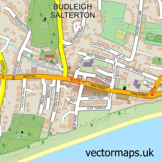
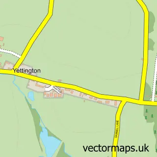
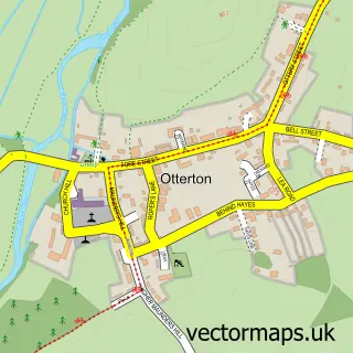
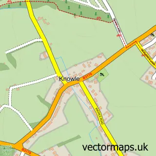
Nearby street map samples around East Budleigh

More street maps in Devon
750 metre map area coverage
Boundary, postcode and point of interest information for the 750m x 750m rectangle centred on this sample map.
Boundaries containing map centre
Constituency: Exmouth and Exeter East Co Const
County: Devon County
District: East Devon District
Icb: NHS Devon ICB
Parish: East Budleigh CP
Police Force: devon and cornwall
Postcode District: EX9
Postcode Sector: EX9 7
Ward: Budleigh & Raleigh Ward
Nearby boundaries intersecting sample
No additional intersecting boundaries found.
Postcode coverage
POI category counts
Elementary School: 3
Church Cathedral: 2
School: 2
Bakery: 1
Bridal Shop: 1
Building Supply Store: 1
Child Care And Day Care: 1
Community Center: 1
Driving School: 1
Financial Advising: 1
Sample points of interest
- Penelope's Handpainted Cakes
- Sarah Case
- Exe Conservatory Repairs
- Saplings Childrens Centre
- All Saints Church
- All Saints Church
- East Budleigh Community Shop
- Simon Manning Driving Instructor
- Bicton College Residential Services
- Drake's Primary School
- Little Otters Pre School & Toddlers Group
- Neligan Financial
Create a larger editable map of East Budleigh
This sample shows only a 750 metre area. To create a larger map of East Budleigh, use our map builder to choose your own coverage area, add titles and download editable SVG, PDF and PNG files.
Create a custom map of East Budleigh