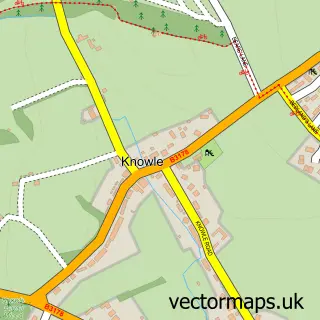
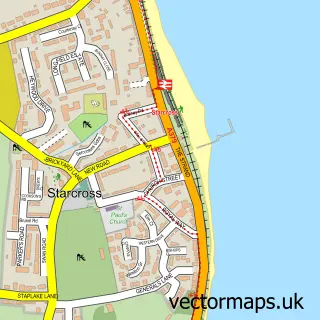
This Budleigh Salterton street map is a detailed vector street map covering a 750m x 750m area. Select a larger area to create and download your own vector street map of Budleigh Salterton.
The 750-metre map sample for Budleigh Salterton covers 349 mapped buildings and approximately 13.0 km of road detail, of which 36 named roads are named. The immediate area includes 1 GP surgery, 2 pubs and 3 MOT stations within 2 miles. The wider area around Budleigh Salterton features 2 tourism points of interest, 13 food and drink venues and 4 hotels. To create a larger or custom map of Budleigh Salterton, the map builder lets you define your own coverage area and download editable SVG, PDF and PNG files.
Create a larger editable map of Budleigh Salterton
Choose any area you need and generate a high-quality vector map instantly. Perfect for print, planning, design, business and personal use.

This Budleigh Salterton street map in Devon is available as downloadable SVG, PDF and PNG map files, or as a printed map for planning, business, display, education, local information and design work. You can also create a larger custom map area using the map selector.
What this Budleigh Salterton map sample shows
Budleigh Salterton lies within Budleigh Salterton Cp parish, part of Budleigh & Raleigh ward in the East Devon District local authority area. The postcode geography for this area includes the EX postcode area, the EX9 postcode district and the EX9 6 postcode sector. Residents fall under the Nhs Devon Integrated Care Board for NHS services.
Local features near Budleigh Salterton
Within 2 milesAmenities and services in and around Budleigh Salterton.
Administrative and postcode information for Budleigh Salterton
Budleigh Salterton lies within Budleigh Salterton Cp parish, part of Budleigh & Raleigh ward in the East Devon District local authority area. The postcode geography for this area includes the EX postcode area, the EX9 postcode district and the EX9 6 postcode sector. Residents fall under the Nhs Devon Integrated Care Board for NHS services.
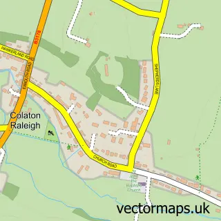
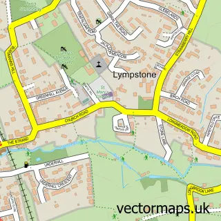
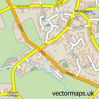
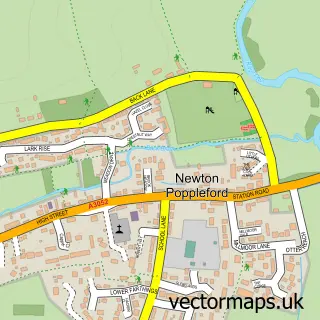
Nearby street map samples around Budleigh Salterton

More street maps in Devon
750 metre map area coverage
Boundary, postcode and point of interest information for the 750m x 750m rectangle centred on this sample map.
Boundaries containing map centre
Constituency: Exmouth and Exeter East Co Const
County: Devon County
District: East Devon District
Icb: NHS Devon ICB
Parish: Budleigh Salterton CP
Police Force: devon and cornwall
Postcode District: EX9
Postcode Sector: EX9 6
Ward: Budleigh & Raleigh Ward
Nearby boundaries intersecting sample
No additional intersecting boundaries found.
Postcode coverage
POI category counts
Cafe: 8
Flowers And Gifts Shop: 7
Banks: 5
Clothing Store: 5
Sports Club And League: 5
Antique Store: 4
Beauty Salon: 4
Hotel: 4
Art Gallery: 3
Charity Organization: 3
Sample points of interest
- K Larder
- St Peter
- Corner House Veterinary Surgery
- Children's Hospice South West
- Days of Grace Textiles
- Rspca Charity Shop
- devon air ambulance
- Brook Contemporary
- Brook Gallery
- Brook Gallery
- Helen Warren China Restoration
- Bargainarts
Create a larger editable map of Budleigh Salterton
This sample shows only a 750 metre area. To create a larger map of Budleigh Salterton, use our map builder to choose your own coverage area, add titles and download editable SVG, PDF and PNG files.
Create a custom map of Budleigh Salterton