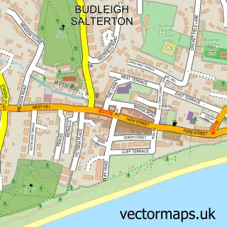
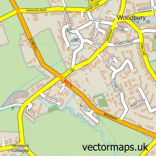
This Otterton street map is a detailed vector street map covering a 750m x 750m area. Select a larger area to create and download your own vector street map of Otterton.
The 750-metre map sample for Otterton covers 174 mapped buildings and approximately 9.2 km of road detail, of which 19 named roads are named. The immediate area includes 1 school, 1 pub and 2 MOT stations within 2 miles. The wider area around Otterton features 1 tourism point of interest, 2 food and drink venues and 3 hotels. To create a larger or custom map of Otterton, the map builder lets you define your own coverage area and download editable SVG, PDF and PNG files.
Create a larger editable map of Otterton
Choose any area you need and generate a high-quality vector map instantly. Perfect for print, planning, design, business and personal use.

This Otterton street map in Devon is available as downloadable SVG, PDF and PNG map files, or as a printed map for planning, business, display, education, local information and design work. You can also create a larger custom map area using the map selector.
What this Otterton map sample shows
Otterton lies within Otterton Cp parish, part of Budleigh & Raleigh ward in the East Devon District local authority area. The postcode geography for this area includes the EX postcode area, the EX9 postcode district and the EX9 7 postcode sector. Residents fall under the Nhs Devon Integrated Care Board for NHS services.
Local features near Otterton
Within 2 milesAmenities and services in and around Otterton.
Administrative and postcode information for Otterton
Otterton lies within Otterton Cp parish, part of Budleigh & Raleigh ward in the East Devon District local authority area. The postcode geography for this area includes the EX postcode area, the EX9 postcode district and the EX9 7 postcode sector. Residents fall under the Nhs Devon Integrated Care Board for NHS services.
Nearby street map samples around Otterton

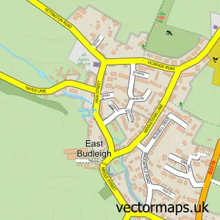
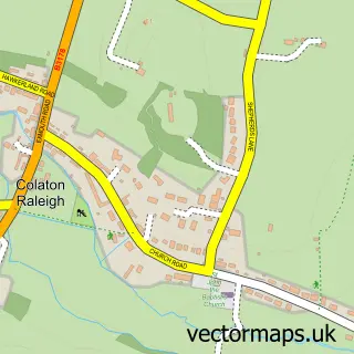
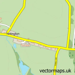
More street maps in Devon
750 metre map area coverage
Boundary, postcode and point of interest information for the 750m x 750m rectangle centred on this sample map.
Boundaries containing map centre
Constituency: Exmouth and Exeter East Co Const
County: Devon County
District: East Devon District
Icb: NHS Devon ICB
Parish: Otterton CP
Police Force: devon and cornwall
Postcode District: EX9
Postcode Sector: EX9 7
Ward: Budleigh & Raleigh Ward
Nearby boundaries intersecting sample
Parish: Bicton CP
Postcode coverage
POI category counts
Hotel: 3
American Restaurant: 1
Anglican Church: 1
Bank Credit Union: 1
Cafe: 1
Church Cathedral: 1
Convenience Store: 1
Elementary School: 1
Ethical Grocery: 1
Hair Salon: 1
Sample points of interest
- The Duckery Restaurant
- St Michael's Church, Otterton
- Lloyds Bank
- Otterton Mill
- St Michael's Church
- Otterton Community Shop
- Otterton C Of E Primary School
- Otterton Mill
- Hair At No 57
- Kings Arms
- The Kings Arms
- The Kings Arms
Create a larger editable map of Otterton
This sample shows only a 750 metre area. To create a larger map of Otterton, use our map builder to choose your own coverage area, add titles and download editable SVG, PDF and PNG files.
Create a custom map of Otterton