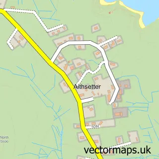
This Hoswick street map is a detailed vector street map covering a 750m x 750m area. Select a larger area to create and download your own vector street map of Hoswick.
The 750-metre map sample for Hoswick covers 51 mapped buildings and approximately 6.6 km of road detail, of which 1 named road are named. The immediate area includes 1 GP surgery within 2 miles. The wider area around Hoswick features 1 food and drink venue. To create a larger or custom map of Hoswick, the map builder lets you define your own coverage area and download editable SVG, PDF and PNG files.
Create a larger editable map of Hoswick
Choose any area you need and generate a high-quality vector map instantly. Perfect for print, planning, design, business and personal use.

This Hoswick street map in Shetland is available as downloadable SVG, PDF and PNG map files, or as a printed map for planning, business, display, education, local information and design work. You can also create a larger custom map area using the map selector.
What this Hoswick map sample shows
Hoswick lies within Shetland Islands parish, part of Shetland South ward in the Shetland Islands local authority area. The postcode geography for this area includes the ZE postcode area, the ZE2 postcode district and the ZE2 9 postcode sector. Local NHS services are provided through Shetland.
Local features near Hoswick
Within 2 milesAmenities and services in and around Hoswick.
Administrative and postcode information for Hoswick
Hoswick lies within Shetland Islands parish, part of Shetland South ward in the Shetland Islands local authority area. The postcode geography for this area includes the ZE postcode area, the ZE2 postcode district and the ZE2 9 postcode sector. Local NHS services are provided through Shetland.
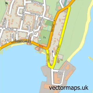
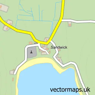
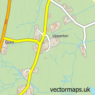
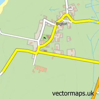
Nearby street map samples around Hoswick


More street maps in Shetland
750 metre map area coverage
Boundary, postcode and point of interest information for the 750m x 750m rectangle centred on this sample map.
Boundaries containing map centre
Constituency: Orkney and Shetland Co Const
District: Shetland Islands
Icb: Shetland
Postcode District: ZE2
Postcode Sector: ZE2 9
Ward: Shetland South Ward
Nearby boundaries intersecting sample
No additional intersecting boundaries found.
Postcode coverage
POI category counts
B2b Textiles: 1
Beach: 1
Cafe: 1
Clothing Company: 1
Graphic Designer: 1
It Service And Computer Repair: 1
Jewelry Store: 1
Professional Services: 1
Sample points of interest
- Nielanell Contemporary Shetland Knitwear
- Levenwick Beach
- Hoswick Visitor Centre
- Laurence Odie Knitwear
- Hot Gecko Media Ltd
- Specialist Technical Solutions
- Karlin Anderson Jewellery Design
- Dave Donaldson Photography
Create a larger editable map of Hoswick
This sample shows only a 750 metre area. To create a larger map of Hoswick, use our map builder to choose your own coverage area, add titles and download editable SVG, PDF and PNG files.
Create a custom map of Hoswick