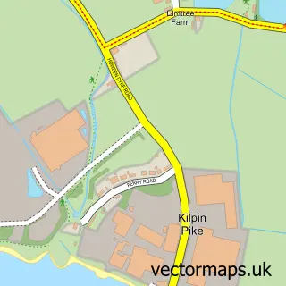
This Howden street map is a detailed vector street map covering a 750m x 750m area. Select a larger area to create and download your own vector street map of Howden.
The 750-metre map sample for Howden covers 511 mapped buildings and approximately 16.2 km of road detail, of which 44 named roads are named. The immediate area includes 2 primary schools and 1 secondary school, 1 GP surgery within 2 miles, 4 pubs and 1 MOT station within 2 miles. The wider area around Howden features 3 tourism points of interest, 10 food and drink venues and 3 hotels. To create a larger or custom map of Howden, the map builder lets you define your own coverage area and download editable SVG, PDF and PNG files.
Create a larger editable map of Howden
Choose any area you need and generate a high-quality vector map instantly. Perfect for print, planning, design, business and personal use.

This Howden street map in East Riding of Yorkshire is available as downloadable SVG, PDF and PNG map files, or as a printed map for planning, business, display, education, local information and design work. You can also create a larger custom map area using the map selector.
What this Howden map sample shows
Howden lies within Howden Cp parish, part of Howden ward in the East Riding Of Yorkshire local authority area. The postcode geography for this area includes the DN postcode area, the DN14 postcode district and the DN14 7 postcode sector. Residents fall under the Nhs Humber And North Yorkshire Integrated Care Board for NHS services.
Local features near Howden
Within 2 milesAmenities and services in and around Howden.
Administrative and postcode information for Howden
Howden lies within Howden Cp parish, part of Howden ward in the East Riding Of Yorkshire local authority area. The postcode geography for this area includes the DN postcode area, the DN14 postcode district and the DN14 7 postcode sector. Residents fall under the Nhs Humber And North Yorkshire Integrated Care Board for NHS services.
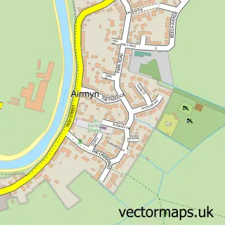
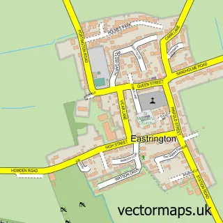
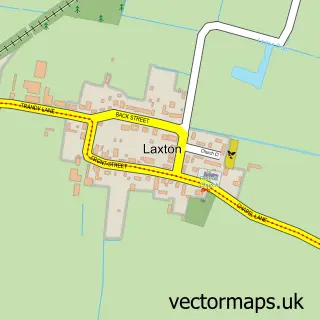
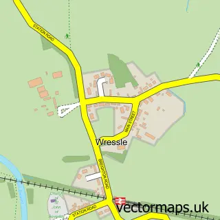
Nearby street map samples around Howden

More street maps in East Riding of Yorkshire
750 metre map area coverage
Boundary, postcode and point of interest information for the 750m x 750m rectangle centred on this sample map.
Boundaries containing map centre
Constituency: Goole and Pocklington Co Const
District: East Riding of Yorkshire
Icb: NHS Humber and North Yorkshire ICB
Parish: Howden CP
Police Force: humberside
Postcode District: DN14
Postcode Sector: DN14 7
Ward: Howden Ward
Nearby boundaries intersecting sample
No additional intersecting boundaries found.
Postcode coverage
POI category counts
Hair Salon: 6
Liquor Store: 5
Bakery: 4
Bar: 4
Beauty Salon: 4
Flowers And Gifts Shop: 4
Pub: 4
Cafe: 3
Hotel: 3
Landmark And Historical Building: 3
Sample points of interest
- Payroll Direct
- Aquarius of Howden
- Blackbird Gallery
- PayPoint
- The Cooperative Food Howden Hailgate, Howden
- Atkinson Bakers
- Bakery at No.7
- Fullers Quality Bakers
- Graham's Bakery
- NatWest
- Bishop's Bar & Bistro
- Coffee and Wine by Tommy
Create a larger editable map of Howden
This sample shows only a 750 metre area. To create a larger map of Howden, use our map builder to choose your own coverage area, add titles and download editable SVG, PDF and PNG files.
Create a custom map of Howden