This Hughley street map is a detailed vector street map covering a 750m x 750m area. Select a larger area to create and download your own vector street map of Hughley.
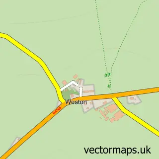
The 750-metre map sample for Hughley covers 62 mapped buildings and approximately 29.8 km of road detail. The wider area around Hughley features 2 tourism points of interest. To create a larger or custom map of Hughley, the map builder lets you define your own coverage area and download editable SVG, PDF and PNG files.
Create a larger editable map of Hughley
Choose any area you need and generate a high-quality vector map instantly. Perfect for print, planning, design, business and personal use.

This Hughley street map in Shropshire is available as downloadable SVG, PDF and PNG map files, or as a printed map for planning, business, display, education, local information and design work. You can also create a larger custom map area using the map selector.
What this Hughley map sample shows
Hughley lies within Hughley Cp parish, part of Severn Valley ward in the Shropshire local authority area. The postcode geography for this area includes the SY postcode area, the SY5 postcode district and the SY5 6 postcode sector. Residents fall under the Nhs Shropshire, Telford And Wrekin Integrated Care Board for NHS services.
Local features near Hughley
Within 2 milesAmenities and services in and around Hughley.
Administrative and postcode information for Hughley
Hughley lies within Hughley Cp parish, part of Severn Valley ward in the Shropshire local authority area. The postcode geography for this area includes the SY postcode area, the SY5 postcode district and the SY5 6 postcode sector. Residents fall under the Nhs Shropshire, Telford And Wrekin Integrated Care Board for NHS services.
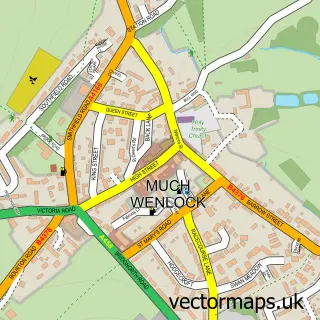
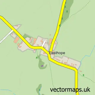
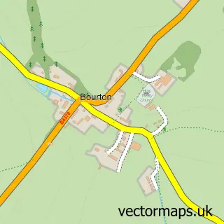
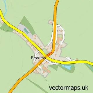
Nearby street map samples around Hughley

More street maps in Shropshire
750 metre map area coverage
Boundary, postcode and point of interest information for the 750m x 750m rectangle centred on this sample map.
Boundaries containing map centre
Constituency: South Shropshire Co Const
District: Shropshire
Icb: NHS Shropshire Telford and Wrekin ICB
Parish: Hughley CP
Police Force: west mercia
Postcode District: SY5
Postcode Sector: SY5 6
Nearby boundaries intersecting sample
Parish: Church Preen CP, Kenley CP
Postcode coverage
POI category counts
Anglican Church: 1
Business Manufacturing And Supply: 1
Campground: 1
Landmark And Historical Building: 1
Post Office: 1
Sample points of interest
- Hughley: St John the Baptist
- Logs2YourDoor
- Mill Farm Holiday Park
- Hughley, Shropshire
- Post Office
Create a larger editable map of Hughley
This sample shows only a 750 metre area. To create a larger map of Hughley, use our map builder to choose your own coverage area, add titles and download editable SVG, PDF and PNG files.
Create a custom map of Hughley