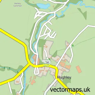
This Much Wenlock street map is a detailed vector street map covering a 750m x 750m area. Select a larger area to create and download your own vector street map of Much Wenlock.
The 750-metre map sample for Much Wenlock covers 369 mapped buildings and approximately 45.2 km of road detail, of which 33 named roads are named. The immediate area includes 1 GP surgery and 4 pubs. The wider area around Much Wenlock features 5 tourism points of interest, 10 food and drink venues and 3 hotels. To create a larger or custom map of Much Wenlock, the map builder lets you define your own coverage area and download editable SVG, PDF and PNG files.
Create a larger editable map of Much Wenlock
Choose any area you need and generate a high-quality vector map instantly. Perfect for print, planning, design, business and personal use.

This Much Wenlock street map in Shropshire is available as downloadable SVG, PDF and PNG map files, or as a printed map for planning, business, display, education, local information and design work. You can also create a larger custom map area using the map selector.
What this Much Wenlock map sample shows
Much Wenlock lies within Much Wenlock Cp parish, part of Much Wenlock ward in the Shropshire local authority area. The postcode geography for this area includes the TF postcode area, the TF13 postcode district and the TF13 6 postcode sector. Residents fall under the Nhs Shropshire, Telford And Wrekin Integrated Care Board for NHS services.
Local features near Much Wenlock
Within 2 milesAmenities and services in and around Much Wenlock.
Administrative and postcode information for Much Wenlock
The local authority covering Much Wenlock is Shropshire, within the county of Shropshire. The settlement lies within Much Wenlock ward and Much Wenlock Cp civil parish. The TF13 postcode district and TF13 6 postcode sector serve the immediate area. NHS provision in the area is delivered through The Shrewsbury And Telford Hospital Nhs Trust.
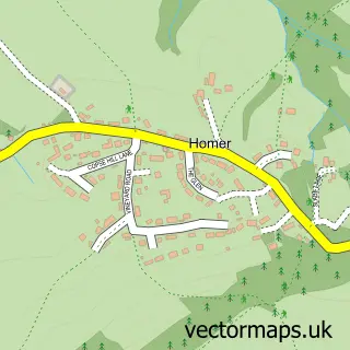
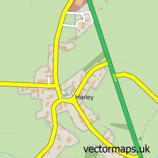
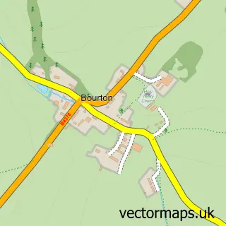
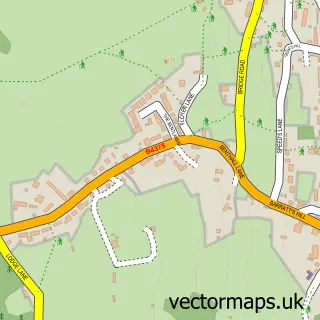
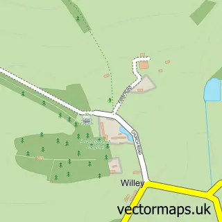
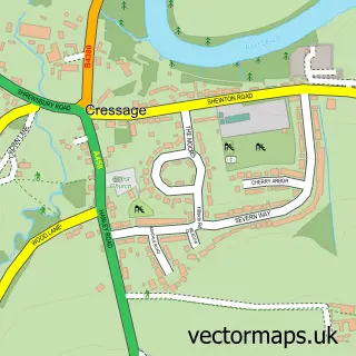
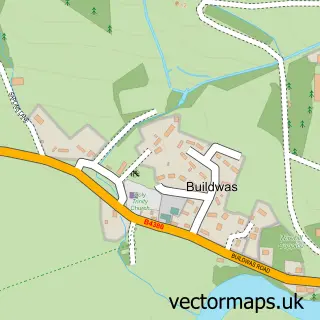
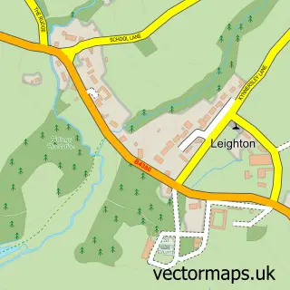
Nearby street map samples around Much Wenlock

More street maps in Shropshire
750 metre map area coverage
Boundary, postcode and point of interest information for the 750m x 750m rectangle centred on this sample map.
Boundaries containing map centre
Constituency: South Shropshire Co Const
District: Shropshire
Icb: NHS Shropshire Telford and Wrekin ICB
Parish: Much Wenlock CP
Police Force: west mercia
Postcode District: TF13
Postcode Sector: TF13 6
Nearby boundaries intersecting sample
No additional intersecting boundaries found.
Postcode coverage
POI category counts
Convenience Store: 5
Coffee Shop: 4
Hair Salon: 4
Pub: 4
Art Gallery: 3
Hotel: 3
Land Surveying: 3
Antique Store: 2
Art Museum: 2
Bookstore: 2
Sample points of interest
- The Raven Hotel and Restaurant
- Much Wenlock: Holy Trinity
- Antiques & Collectables
- Memories Antiques & Collectables
- Meraki Wenlock
- The Linden Tree
- Wenlock Fine Art
- Twenty Twenty Gallery
- Wenlock Priory
- The Chainsaw Bloke
- Barclays ATM
- Wenlock Upholstery and Furnishings
Create a larger editable map of Much Wenlock
This sample shows only a 750 metre area. To create a larger map of Much Wenlock, use our map builder to choose your own coverage area, add titles and download editable SVG, PDF and PNG files.
Create a custom map of Much Wenlock