This Cressage street map is a detailed vector street map covering a 750m x 750m area. Select a larger area to create and download your own vector street map of Cressage.
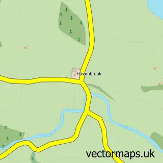
The 750-metre map sample for Cressage covers 223 mapped buildings and approximately 19.2 km of road detail, of which 12 named roads are named. The immediate area includes 1 school. To create a larger or custom map of Cressage, the map builder lets you define your own coverage area and download editable SVG, PDF and PNG files.
Create a larger editable map of Cressage
Choose any area you need and generate a high-quality vector map instantly. Perfect for print, planning, design, business and personal use.

This Cressage street map in Shropshire is available as downloadable SVG, PDF and PNG map files, or as a printed map for planning, business, display, education, local information and design work. You can also create a larger custom map area using the map selector.
What this Cressage map sample shows
Cressage lies within Cressage Cp parish, part of Severn Valley ward in the Shropshire local authority area. The postcode geography for this area includes the SY postcode area, the SY5 postcode district and the SY5 6 postcode sector. Residents fall under the Nhs Shropshire, Telford And Wrekin Integrated Care Board for NHS services.
Local features near Cressage
Within 2 milesAmenities and services in and around Cressage.
Administrative and postcode information for Cressage
The local authority covering Cressage is Shropshire, within the county of Shropshire. The settlement lies within Severn Valley ward and Cressage Cp civil parish. The SY5 postcode district and SY5 6 postcode sector serve the immediate area. NHS provision in the area is delivered through The Shrewsbury And Telford Hospital Nhs Trust.
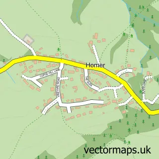
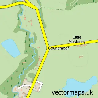
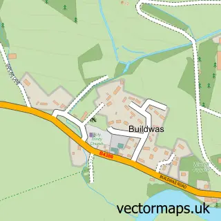
Nearby street map samples around Cressage

More street maps in Shropshire
750 metre map area coverage
Boundary, postcode and point of interest information for the 750m x 750m rectangle centred on this sample map.
Boundaries containing map centre
Constituency: South Shropshire Co Const
District: Shropshire
Icb: NHS Shropshire Telford and Wrekin ICB
Parish: Cressage CP
Police Force: west mercia
Postcode District: SY5
Postcode Sector: SY5 6
Nearby boundaries intersecting sample
Parish: Leighton and Eaton Constantine CP
Postcode coverage
POI category counts
Retail: 2
Anglican Church: 1
Bed And Breakfast: 1
Business Consulting: 1
Education: 1
Online Shop: 1
Package Locker: 1
Pet Groomer: 1
Post Office: 1
Topic Concert Venue: 1
Sample points of interest
- Cressage (closure process)
- The Old Hall Cressage B&B
- Embed Learning
- Christ Church
- Severn Scent Videos
- InPost
- Groom at No.1
- Post Office
- Shropshire Music Trust
- Universal Beauty Club
- Cressage Village Hall
- Firbanks Tutoring
Create a larger editable map of Cressage
This sample shows only a 750 metre area. To create a larger map of Cressage, use our map builder to choose your own coverage area, add titles and download editable SVG, PDF and PNG files.
Create a custom map of Cressage