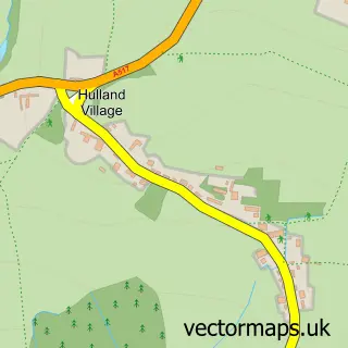
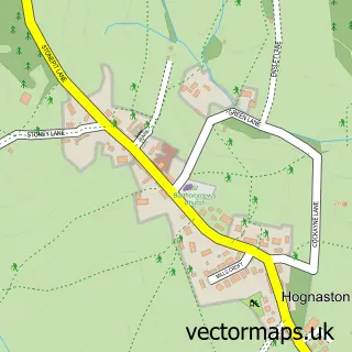
This Hulland Ward street map is a detailed vector street map covering a 750m x 750m area. Select a larger area to create and download your own vector street map of Hulland Ward.
The 750-metre map sample for Hulland Ward covers 300 mapped buildings and approximately 10.9 km of road detail, of which 18 named roads are named. The immediate area includes 1 pub and 2 MOT stations. The wider area around Hulland Ward features 1 food and drink venue and 3 campsites within 2 miles. To create a larger or custom map of Hulland Ward, the map builder lets you define your own coverage area and download editable SVG, PDF and PNG files.
Create a larger editable map of Hulland Ward
Choose any area you need and generate a high-quality vector map instantly. Perfect for print, planning, design, business and personal use.

This Hulland Ward street map in Derbyshire is available as downloadable SVG, PDF and PNG map files, or as a printed map for planning, business, display, education, local information and design work. You can also create a larger custom map area using the map selector.
What this Hulland Ward map sample shows
Hulland Ward lies within Biggin Cp parish, part of Hulland ward in the Derbyshire Dales District local authority area. The postcode geography for this area includes the DE postcode area, the DE6 postcode district and the DE6 3 postcode sector. Residents fall under the Nhs Derby And Derbyshire Integrated Care Board for NHS services.
Local features near Hulland Ward
Within 2 milesAmenities and services in and around Hulland Ward.
Administrative and postcode information for Hulland Ward
Hulland Ward lies within Biggin Cp parish, part of Hulland ward in the Derbyshire Dales District local authority area. The postcode geography for this area includes the DE postcode area, the DE6 postcode district and the DE6 3 postcode sector. Residents fall under the Nhs Derby And Derbyshire Integrated Care Board for NHS services.
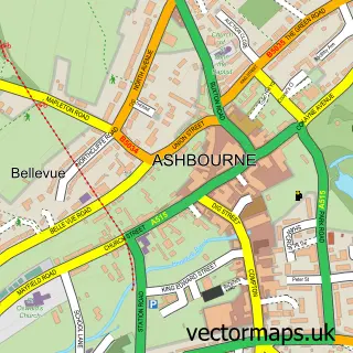
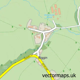
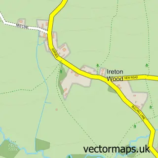
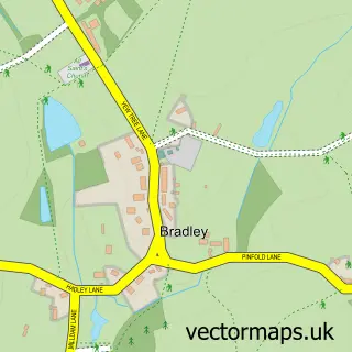
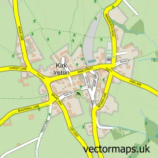
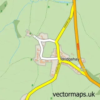
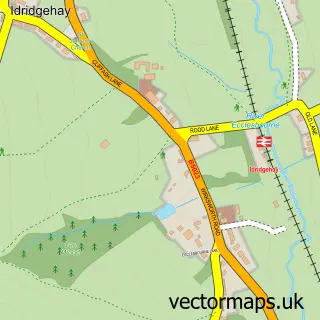
Nearby street map samples around Hulland Ward

More street maps in Derbyshire
750 metre map area coverage
Boundary, postcode and point of interest information for the 750m x 750m rectangle centred on this sample map.
Boundaries containing map centre
Constituency: Derbyshire Dales Co Const
County: Derbyshire County
District: Derbyshire Dales District
Icb: NHS Derby and Derbyshire ICB
Parish: Hulland Ward CP
Police Force: derbyshire
Postcode District: DE6
Postcode Sector: DE6 3
Ward: Hulland Ward
Nearby boundaries intersecting sample
Parish: Biggin CP, Hulland CP
Postcode coverage
POI category counts
Contractor: 3
Automotive Repair: 1
B2b Textiles: 1
Building Supply Store: 1
Day Care Preschool: 1
Financial Advising: 1
Florist: 1
Flowers And Gifts Shop: 1
Hvac Supplier: 1
Industrial Equipment: 1
Sample points of interest
- Hulland Ward Garage
- Alison Yule Textiles
- RS Plumbing & Heating
- Garden Outlines
- Hulland Homes
- Peak Surveying and Engineering
- Hulland Community Pre-school
- APT Financial Management
- Flowers Less Ordinary
- Flowers Less Ordinary
- Stewart Domestic Plumbing
- Vital Training Services
Create a larger editable map of Hulland Ward
This sample shows only a 750 metre area. To create a larger map of Hulland Ward, use our map builder to choose your own coverage area, add titles and download editable SVG, PDF and PNG files.
Create a custom map of Hulland Ward