This Isfield street map is a detailed vector street map covering a 750m x 750m area. Select a larger area to create and download your own vector street map of Isfield.
The 750-metre map sample for Isfield covers 147 mapped buildings and approximately 5.9 km of road detail, of which 6 named roads are named. The immediate area includes 1 railway station and 1 MOT station within 2 miles. The wider area around Isfield features 1 tourism point of interest, 1 food and drink venue and 1 campsite within 2 miles. To create a larger or custom map of Isfield, the map builder lets you define your own coverage area and download editable SVG, PDF and PNG files.
Create a larger editable map of Isfield
Choose any area you need and generate a high-quality vector map instantly. Perfect for print, planning, design, business and personal use.

This Isfield street map in East Sussex is available as downloadable SVG, PDF and PNG map files, or as a printed map for planning, business, display, education, local information and design work. You can also create a larger custom map area using the map selector.
What this Isfield map sample shows
Isfield lies within Isfield Cp parish, part of Danehill & Fletching ward in the Wealden District local authority area. The postcode geography for this area includes the TN postcode area, the TN22 postcode district and the TN22 5 postcode sector. Residents fall under the Nhs Sussex Integrated Care Board for NHS services.
Local features near Isfield
Within 2 milesAmenities and services in and around Isfield.
Administrative and postcode information for Isfield
Isfield lies within Isfield Cp parish, part of Danehill & Fletching ward in the Wealden District local authority area. The postcode geography for this area includes the TN postcode area, the TN22 postcode district and the TN22 5 postcode sector. Residents fall under the Nhs Sussex Integrated Care Board for NHS services.
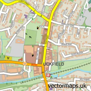
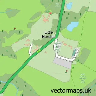
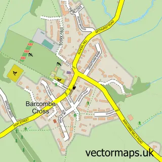
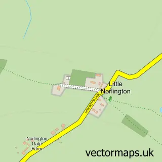
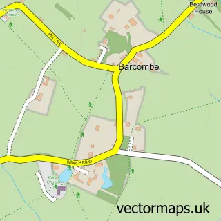
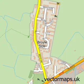
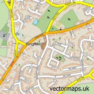
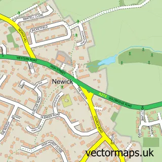
Nearby street map samples around Isfield

More street maps in East Sussex
750 metre map area coverage
Boundary, postcode and point of interest information for the 750m x 750m rectangle centred on this sample map.
Boundaries containing map centre
Constituency: East Grinstead and Uckfield Co Const
County: East Sussex County
District: Wealden District
Icb: NHS Surrey and Sussex ICB
Parish: Isfield CP
Police Force: sussex
Postcode District: TN22
Postcode Sector: TN22 5
Ward: Danehill & Fletching Ward
Nearby boundaries intersecting sample
No additional intersecting boundaries found.
Postcode coverage
POI category counts
Train Station: 2
Amusement Park: 1
Arts And Entertainment: 1
Brewery: 1
Community Center: 1
Cricket Ground: 1
Event Planning: 1
Farming Equipment Store: 1
Interior Design: 1
Professional Services: 1
Sample points of interest
- Rowebuck Training and livery
- Laughing Fish
- Isfield Brewing Company
- Isfield Village Hall
- isfield cricket club
- The Cedar Roof Barn
- Isfield Farm Shop
- Naked Floors
- Rowebuck Stud
- The Laughing Fish
- Garrison Roofing Contractors
- Post Office
Create a larger editable map of Isfield
This sample shows only a 750 metre area. To create a larger map of Isfield, use our map builder to choose your own coverage area, add titles and download editable SVG, PDF and PNG files.
Create a custom map of Isfield