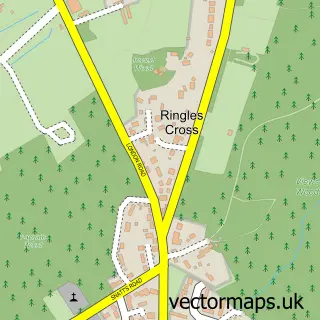
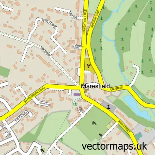
This Uckfield street map is a detailed vector street map covering a 750m x 750m area. Select a larger area to create and download your own vector street map of Uckfield.
The 750-metre map sample for Uckfield covers 384 mapped buildings and approximately 18.0 km of road detail, of which 33 named roads are named. The immediate area includes 1 railway station, 1 GP surgery, with 2 within 2 miles, 1 pub and 2 MOT stations, with 6 within 2 miles. The wider area around Uckfield features 4 tourism points of interest and 17 food and drink venues. To create a larger or custom map of Uckfield, the map builder lets you define your own coverage area and download editable SVG, PDF and PNG files.
Create a larger editable map of Uckfield
Choose any area you need and generate a high-quality vector map instantly. Perfect for print, planning, design, business and personal use.

This Uckfield street map in East Sussex is available as downloadable SVG, PDF and PNG map files, or as a printed map for planning, business, display, education, local information and design work. You can also create a larger custom map area using the map selector.
What this Uckfield map sample shows
Uckfield lies within Uckfield Cp parish, part of Uckfield New Town ward in the Wealden District local authority area. The postcode geography for this area includes the TN postcode area, the TN22 postcode district and the TN22 1 postcode sector. Residents fall under the Nhs Sussex Integrated Care Board for NHS services.
Local features near Uckfield
Within 2 milesAmenities and services in and around Uckfield.
Administrative and postcode information for Uckfield
Uckfield lies within Uckfield Cp parish, part of Uckfield New Town ward in the Wealden District local authority area. The postcode geography for this area includes the TN postcode area, the TN22 postcode district and the TN22 1 postcode sector. Residents fall under the Nhs Sussex Integrated Care Board for NHS services.
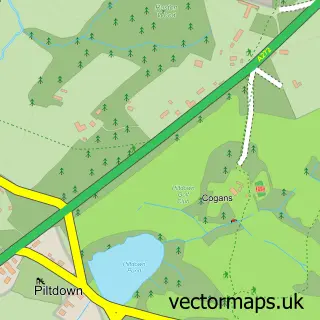
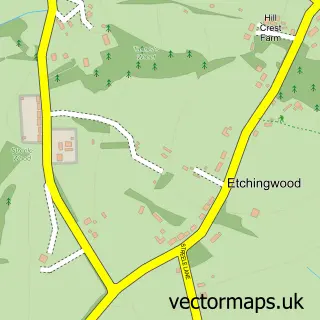
Nearby street map samples around Uckfield

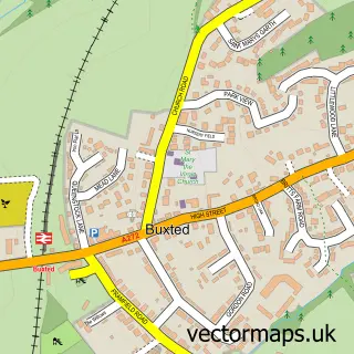
More street maps in East Sussex
750 metre map area coverage
Boundary, postcode and point of interest information for the 750m x 750m rectangle centred on this sample map.
Boundaries containing map centre
Constituency: East Grinstead and Uckfield Co Const
County: East Sussex County
District: Wealden District
Icb: NHS Surrey and Sussex ICB
Parish: Uckfield CP
Police Force: sussex
Postcode District: TN22
Postcode Sector: TN22 1
Ward: Uckfield New Town Ward
Nearby boundaries intersecting sample
Postcode Sector: TN22 2, TN22 5
Ward: Uckfield East Ward, Uckfield North Ward
Postcode coverage
POI category counts
Charity Organization: 13
Real Estate Agent: 12
Beauty Salon: 11
Professional Services: 11
Cafe: 8
Hair Salon: 8
Barber: 7
Building Supply Store: 7
Indian Restaurant: 7
Pet Store: 7
Sample points of interest
- Swindells Accounting
- Team4
- Silyn Jegat · Chinese Holistic Medicine
- My Marketing
- Oxide Group
- SJE Marketing
- Tim Benians Associates
- IGE Allergy and Intolerance Clinic
- Element Health and Wellbeing
- Freeman Forman
- Uckfield Electrics
- 3d Architecture
Create a larger editable map of Uckfield
This sample shows only a 750 metre area. To create a larger map of Uckfield, use our map builder to choose your own coverage area, add titles and download editable SVG, PDF and PNG files.
Create a custom map of Uckfield