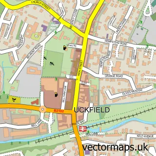
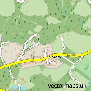
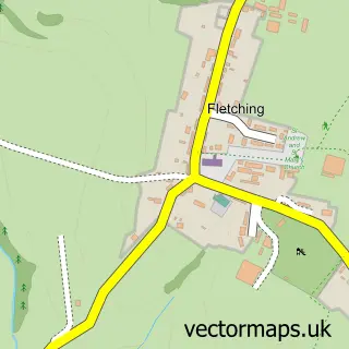
This Five Ash Down street map is a detailed vector street map covering a 750m x 750m area. Select a larger area to create and download your own vector street map of Five Ash Down.
The 750-metre map sample for Five Ash Down covers 193 mapped buildings and approximately 9.2 km of road detail, of which 5 named roads are named. The immediate area includes 3 GP surgeries within 2 miles, 1 pub and 5 MOT stations within 2 miles. The wider area around Five Ash Down features 1 food and drink venue. To create a larger or custom map of Five Ash Down, the map builder lets you define your own coverage area and download editable SVG, PDF and PNG files.
Create a larger editable map of Five Ash Down
Choose any area you need and generate a high-quality vector map instantly. Perfect for print, planning, design, business and personal use.

This Five Ash Down street map in East Sussex is available as downloadable SVG, PDF and PNG map files, or as a printed map for planning, business, display, education, local information and design work. You can also create a larger custom map area using the map selector.
What this Five Ash Down map sample shows
Five Ash Down lies within Uckfield Cp parish, part of Uckfield North ward in the Wealden District local authority area. The postcode geography for this area includes the TN postcode area, the TN22 postcode district and the TN22 1 postcode sector. Residents fall under the Nhs Sussex Integrated Care Board for NHS services.
Local features near Five Ash Down
Within 2 milesAmenities and services in and around Five Ash Down.
Administrative and postcode information for Five Ash Down
The local authority covering Five Ash Down is Wealden District, within the county of East Sussex. The settlement lies within Uckfield North ward and Uckfield Cp civil parish. The TN22 postcode district and TN22 1 postcode sector serve the immediate area. NHS provision in the area is delivered through University Hospitals Sussex Nhs Foundation Trust.
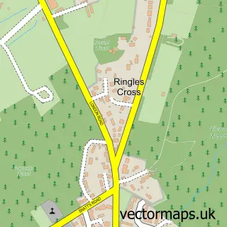
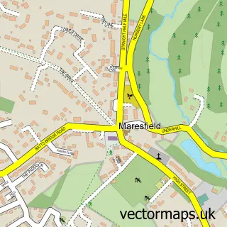
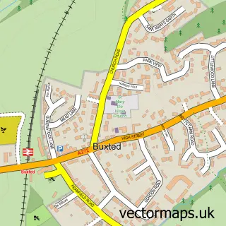
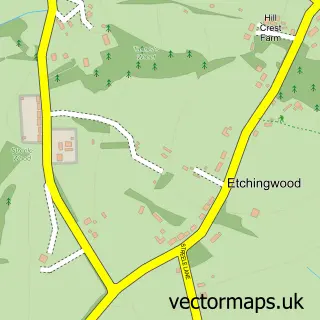
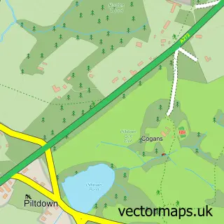
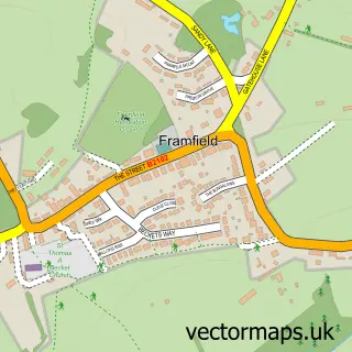
Nearby street map samples around Five Ash Down

More street maps in East Sussex
750 metre map area coverage
Boundary, postcode and point of interest information for the 750m x 750m rectangle centred on this sample map.
Boundaries containing map centre
Constituency: East Grinstead and Uckfield Co Const
County: East Sussex County
District: Wealden District
Icb: NHS Surrey and Sussex ICB
Parish: Buxted CP
Police Force: sussex
Postcode District: TN22
Postcode Sector: TN22 3
Ward: Buxted Ward
Nearby boundaries intersecting sample
Parish: Maresfield CP
Postcode Sector: TN22 4
Ward: Maresfield Ward, Uckfield North Ward
Postcode coverage
POI category counts
Auto Detailing: 2
Equestrian Facility: 2
Eyelash Service: 2
Retail: 2
Appliance Manufacturer: 1
Auto Electrical Repair: 1
Automotive Repair: 1
Beauty And Spa: 1
Building Contractor: 1
Building Supply Store: 1
Sample points of interest
- Country Joinery
- Marells
- Marells The Detailers
- Smarter Home Electrics
- Clarks Motorist Centre
- Eyelash Extensions Near Me
- Neil Raymond Building Services
- Willows Sawmill
- Impact Vehicle Hire
- Amuse Private Caterers
- Four Paws Outdoors
- Clarendon Equestrian
Create a larger editable map of Five Ash Down
This sample shows only a 750 metre area. To create a larger map of Five Ash Down, use our map builder to choose your own coverage area, add titles and download editable SVG, PDF and PNG files.
Create a custom map of Five Ash Down