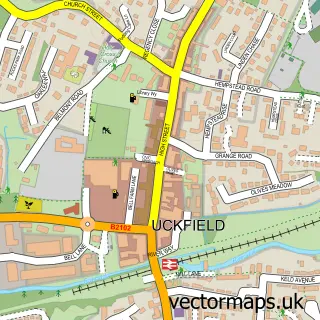
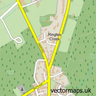
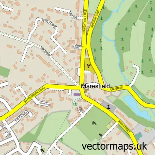
This Framfield street map is a detailed vector street map covering a 750m x 750m area. Select a larger area to create and download your own vector street map of Framfield.
The 750-metre map sample for Framfield covers 261 mapped buildings and approximately 12.2 km of road detail, of which 11 named roads are named. The immediate area includes 1 school, 3 GP surgeries within 2 miles, 1 pub and 5 MOT stations within 2 miles. The wider area around Framfield features 1 food and drink venue. To create a larger or custom map of Framfield, the map builder lets you define your own coverage area and download editable SVG, PDF and PNG files.
Create a larger editable map of Framfield
Choose any area you need and generate a high-quality vector map instantly. Perfect for print, planning, design, business and personal use.

This Framfield street map in East Sussex is available as downloadable SVG, PDF and PNG map files, or as a printed map for planning, business, display, education, local information and design work. You can also create a larger custom map area using the map selector.
What this Framfield map sample shows
Framfield lies within Framfield Cp parish, part of Framfield & Cross-In-Hand ward in the Wealden District local authority area. The postcode geography for this area includes the TN postcode area, the TN22 postcode district and the TN22 5 postcode sector. Residents fall under the Nhs Sussex Integrated Care Board for NHS services.
Local features near Framfield
Within 2 milesAmenities and services in and around Framfield.
Administrative and postcode information for Framfield
The local authority covering Framfield is Wealden District, within the county of East Sussex. The settlement lies within Framfield & Cross-In-Hand ward and Framfield Cp civil parish. The TN22 postcode district and TN22 5 postcode sector serve the immediate area. NHS provision in the area is delivered through Maidstone And Tunbridge Wells Nhs Trust.
Nearby street map samples around Framfield

More street maps in East Sussex
750 metre map area coverage
Boundary, postcode and point of interest information for the 750m x 750m rectangle centred on this sample map.
Boundaries containing map centre
Constituency: Sussex Weald Co Const
County: East Sussex County
District: Wealden District
Icb: NHS Surrey and Sussex ICB
Parish: Framfield CP
Police Force: sussex
Postcode District: TN22
Postcode Sector: TN22 5
Ward: Framfield & Cross-in-Hand Ward
Nearby boundaries intersecting sample
No additional intersecting boundaries found.
Postcode coverage
POI category counts
Automotive Repair: 3
Beauty Salon: 2
Electrician: 2
Elementary School: 2
Active Life: 1
Arts And Entertainment: 1
Bathroom Remodeling: 1
Building Supply Store: 1
Church Cathedral: 1
Contractor: 1
Sample points of interest
- Framfield Recreation Ground
- The Delta Sons
- Framfield Service Station
- IDK Automotive Services
- Willoughbys bespoke paintwork LTD
- K J Parsons Plumbing & Heating
- Contour Waxing and Beauty
- Placidus Beauty Salon
- Ralcon Industrial Construction
- St Thomas À Becket Church
- D F Tourle
- ABP Maintenance
Create a larger editable map of Framfield
This sample shows only a 750 metre area. To create a larger map of Framfield, use our map builder to choose your own coverage area, add titles and download editable SVG, PDF and PNG files.
Create a custom map of Framfield