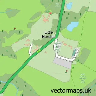
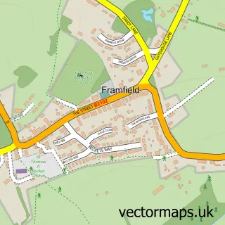
This Halland street map is a detailed vector street map covering a 750m x 750m area. Select a larger area to create and download your own vector street map of Halland.
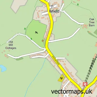
The 750-metre map sample for Halland covers 149 mapped buildings and approximately 6.9 km of road detail, of which 4 named roads are named. The immediate area includes 1 pub and 1 MOT station, with 3 within 2 miles. The wider area around Halland features 1 tourism point of interest, 1 food and drink venue and 2 hotels. To create a larger or custom map of Halland, the map builder lets you define your own coverage area and download editable SVG, PDF and PNG files.
Create a larger editable map of Halland
Choose any area you need and generate a high-quality vector map instantly. Perfect for print, planning, design, business and personal use.

This Halland street map in East Sussex is available as downloadable SVG, PDF and PNG map files, or as a printed map for planning, business, display, education, local information and design work. You can also create a larger custom map area using the map selector.
What this Halland map sample shows
Halland lies within East Hoathly With Halland Cp parish, part of Chiddingly, East Hoathly & Waldron ward in the Wealden District local authority area. The postcode geography for this area includes the BN postcode area, the BN8 postcode district and the BN8 6 postcode sector. Residents fall under the Nhs Sussex Integrated Care Board for NHS services.
Local features near Halland
Within 2 milesAmenities and services in and around Halland.
Administrative and postcode information for Halland
Halland lies within East Hoathly With Halland Cp parish, part of Chiddingly, East Hoathly & Waldron ward in the Wealden District local authority area. The postcode geography for this area includes the BN postcode area, the BN8 postcode district and the BN8 6 postcode sector. Residents fall under the Nhs Sussex Integrated Care Board for NHS services.
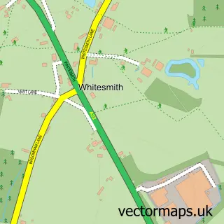
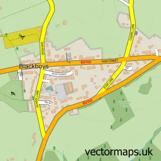
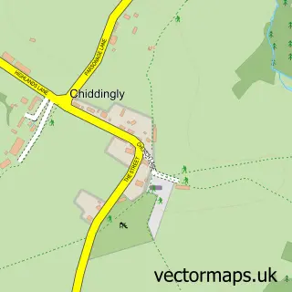
Nearby street map samples around Halland

More street maps in East Sussex
750 metre map area coverage
Boundary, postcode and point of interest information for the 750m x 750m rectangle centred on this sample map.
Boundaries containing map centre
Constituency: Sussex Weald Co Const
County: East Sussex County
District: Wealden District
Icb: NHS Surrey and Sussex ICB
Parish: East Hoathly with Halland CP
Police Force: sussex
Postcode District: BN8
Postcode Sector: BN8 6
Ward: Chiddingly, East Hoathly & Waldron Ward
Nearby boundaries intersecting sample
No additional intersecting boundaries found.
Postcode coverage
POI category counts
Bed And Breakfast: 2
Brake Service And Repair: 2
Hotel: 2
Retirement Home: 2
Automotive Repair: 1
Car Dealer: 1
Construction Services: 1
Event Planning: 1
Furniture Assembly: 1
Home Improvement Store: 1
Sample points of interest
- Motability Scheme at Birchwood Ford Halland
- Beechwood B & B
- Beechwood B&B
- Birchwood Ford
- Birchwood Ford Halland
- Ford UK
- Extend at Home
- Crockstead Fields - East Sussex
- Fabric Wonderland
- Extend
- Black Lion Inn
- Halland Forge Hotel
Create a larger editable map of Halland
This sample shows only a 750 metre area. To create a larger map of Halland, use our map builder to choose your own coverage area, add titles and download editable SVG, PDF and PNG files.
Create a custom map of Halland