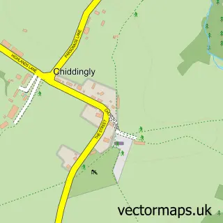
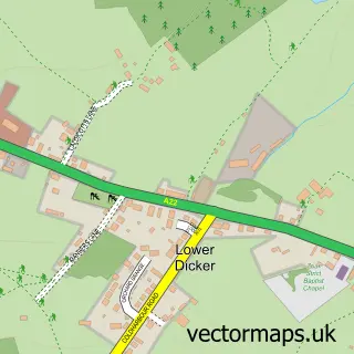
This Whitesmith street map is a detailed vector street map covering a 750m x 750m area. Select a larger area to create and download your own vector street map of Whitesmith.
The 750-metre map sample for Whitesmith covers 86 mapped buildings and approximately 7.2 km of road detail, of which 5 named roads are named. The immediate area includes 1 MOT station within 2 miles. The wider area around Whitesmith features 1 tourism point of interest and 5 campsites within 2 miles. To create a larger or custom map of Whitesmith, the map builder lets you define your own coverage area and download editable SVG, PDF and PNG files.
Create a larger editable map of Whitesmith
Choose any area you need and generate a high-quality vector map instantly. Perfect for print, planning, design, business and personal use.

This Whitesmith street map in East Sussex is available as downloadable SVG, PDF and PNG map files, or as a printed map for planning, business, display, education, local information and design work. You can also create a larger custom map area using the map selector.
What this Whitesmith map sample shows
Whitesmith lies within Chiddingly Cp parish, part of Chiddingly, East Hoathly & Waldron ward in the Wealden District local authority area. The postcode geography for this area includes the BN postcode area, the BN8 postcode district and the BN8 6 postcode sector. Residents fall under the Nhs Sussex Integrated Care Board for NHS services.
Local features near Whitesmith
Within 2 milesAmenities and services in and around Whitesmith.
Administrative and postcode information for Whitesmith
Whitesmith lies within Chiddingly Cp parish, part of Chiddingly, East Hoathly & Waldron ward in the Wealden District local authority area. The postcode geography for this area includes the BN postcode area, the BN8 postcode district and the BN8 6 postcode sector. Residents fall under the Nhs Sussex Integrated Care Board for NHS services.
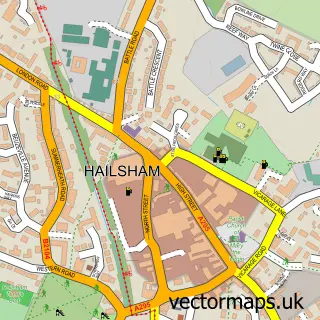
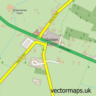
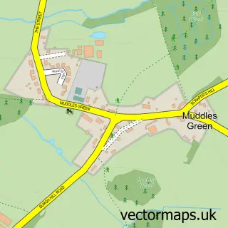
Nearby street map samples around Whitesmith

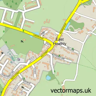
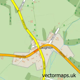
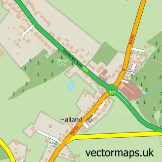
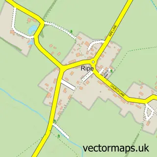
More street maps in East Sussex
750 metre map area coverage
Boundary, postcode and point of interest information for the 750m x 750m rectangle centred on this sample map.
Boundaries containing map centre
Constituency: Sussex Weald Co Const
County: East Sussex County
District: Wealden District
Icb: NHS Surrey and Sussex ICB
Parish: Chiddingly CP
Police Force: sussex
Postcode District: BN8
Postcode Sector: BN8 6
Ward: Chiddingly, East Hoathly & Waldron Ward
Nearby boundaries intersecting sample
Constituency: Lewes Co Const
Parish: Laughton CP
Ward: Arlington Ward
Postcode coverage
POI category counts
Advertising Agency: 1
Appliance Store: 1
Cabin: 1
Furniture Wholesalers: 1
Garbage Collection Service: 1
Gardener: 1
Landmark And Historical Building: 1
Professional Services: 1
Retail: 1
Truck Dealer For Businesses: 1
Sample points of interest
- Shell-Clad Ltd.
- C P Domestics
- Evergreen Cabin
- Ancient Mariner Trading Ltd.
- Woodlands In-Vessel Composting Facility
- Redwoods
- Whitesmith
- Inwood Developments
- E C Forest Products Sales
- Day Aggregates
Create a larger editable map of Whitesmith
This sample shows only a 750 metre area. To create a larger map of Whitesmith, use our map builder to choose your own coverage area, add titles and download editable SVG, PDF and PNG files.
Create a custom map of Whitesmith