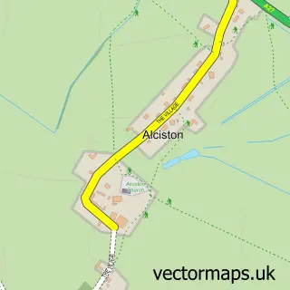
This Ripe street map is a detailed vector street map covering a 750m x 750m area. Select a larger area to create and download your own vector street map of Ripe.
The 750-metre map sample for Ripe covers 115 mapped buildings and approximately 8.8 km of road detail, of which 4 named roads are named. To create a larger or custom map of Ripe, the map builder lets you define your own coverage area and download editable SVG, PDF and PNG files.
Create a larger editable map of Ripe
Choose any area you need and generate a high-quality vector map instantly. Perfect for print, planning, design, business and personal use.

This Ripe street map in East Sussex is available as downloadable SVG, PDF and PNG map files, or as a printed map for planning, business, display, education, local information and design work. You can also create a larger custom map area using the map selector.
What this Ripe map sample shows
Ripe lies within Chalvington With Ripe Cp parish, part of Arlington ward in the Wealden District local authority area. The postcode geography for this area includes the BN postcode area, the BN8 postcode district and the BN8 6 postcode sector. Residents fall under the Nhs Sussex Integrated Care Board for NHS services.
Administrative and postcode information for Ripe
The local authority covering Ripe is Wealden District, within the county of East Sussex. The settlement lies within Arlington ward and Chalvington With Ripe Cp civil parish. The BN8 postcode district and BN8 6 postcode sector serve the immediate area. NHS provision in the area is delivered through East Sussex Healthcare Nhs Trust.
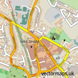
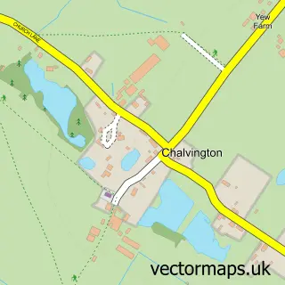
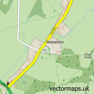
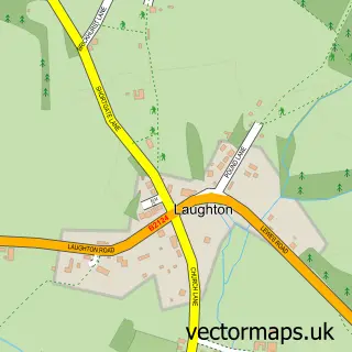
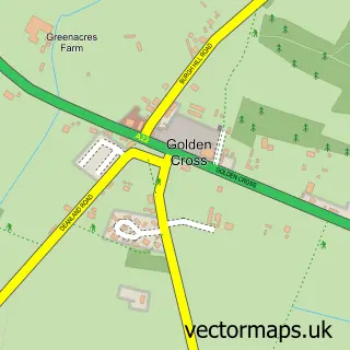
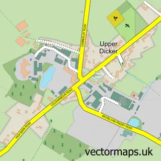
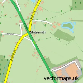
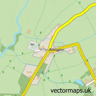
Nearby street map samples around Ripe

More street maps in East Sussex
750 metre map area coverage
Boundary, postcode and point of interest information for the 750m x 750m rectangle centred on this sample map.
Boundaries containing map centre
Constituency: Lewes Co Const
County: East Sussex County
District: Wealden District
Icb: NHS Surrey and Sussex ICB
Parish: Chalvington with Ripe CP
Police Force: sussex
Postcode District: BN8
Postcode Sector: BN8 6
Ward: Arlington Ward
Nearby boundaries intersecting sample
No additional intersecting boundaries found.
Postcode coverage
POI category counts
Pest Control Service: 2
Post Office: 2
Advertising Agency: 1
Bar: 1
Convenience Store: 1
Food Beverage Service Distribution: 1
Preschool: 1
Sample points of interest
- Lisa Hallewell Design
- The Lamb Inn
- Ripe Village Stores
- Kudos Foods
- Go Pest
- Go Pest
- Post Office
- Ripe Post Office
- Ripe Nursery School
Create a larger editable map of Ripe
This sample shows only a 750 metre area. To create a larger map of Ripe, use our map builder to choose your own coverage area, add titles and download editable SVG, PDF and PNG files.
Create a custom map of Ripe