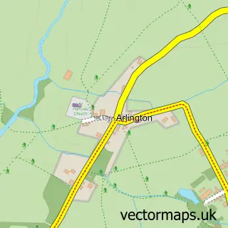
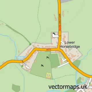
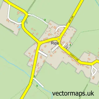
This Upper Dicker street map is a detailed vector street map covering a 750m x 750m area. Select a larger area to create and download your own vector street map of Upper Dicker.
The 750-metre map sample for Upper Dicker covers 152 mapped buildings and approximately 6.4 km of road detail, of which 4 named roads are named. The immediate area includes 2 schools, 1 pub and 1 MOT station within 2 miles. The wider area around Upper Dicker features 2 food and drink venues and 2 campsites within 2 miles. To create a larger or custom map of Upper Dicker, the map builder lets you define your own coverage area and download editable SVG, PDF and PNG files.
Create a larger editable map of Upper Dicker
Choose any area you need and generate a high-quality vector map instantly. Perfect for print, planning, design, business and personal use.

This Upper Dicker street map in East Sussex is available as downloadable SVG, PDF and PNG map files, or as a printed map for planning, business, display, education, local information and design work. You can also create a larger custom map area using the map selector.
What this Upper Dicker map sample shows
Upper Dicker lies within Arlington Cp parish, part of Arlington ward in the Wealden District local authority area. The postcode geography for this area includes the BN postcode area, the BN27 postcode district and the BN27 3 postcode sector. Residents fall under the Nhs Sussex Integrated Care Board for NHS services.
Local features near Upper Dicker
Within 2 milesAmenities and services in and around Upper Dicker.
Administrative and postcode information for Upper Dicker
Upper Dicker lies within Arlington Cp parish, part of Arlington ward in the Wealden District local authority area. The postcode geography for this area includes the BN postcode area, the BN27 postcode district and the BN27 3 postcode sector. Residents fall under the Nhs Sussex Integrated Care Board for NHS services.
Nearby street map samples around Upper Dicker

More street maps in East Sussex
750 metre map area coverage
Boundary, postcode and point of interest information for the 750m x 750m rectangle centred on this sample map.
Boundaries containing map centre
Constituency: Lewes Co Const
County: East Sussex County
District: Wealden District
Icb: NHS Surrey and Sussex ICB
Parish: Arlington CP
Police Force: sussex
Postcode District: BN27
Postcode Sector: BN27 3
Ward: Arlington Ward
Nearby boundaries intersecting sample
No additional intersecting boundaries found.
Postcode coverage
POI category counts
School: 3
Elementary School: 2
Anglican Church: 1
Automotive Repair: 1
Cafe: 1
Dance School: 1
Dentist: 1
Education: 1
Educational Camp: 1
Gastropub: 1
Sample points of interest
- Holy Trinity, Upper Dicker
- AMC Motor Caravan Specialists
- The Village Shop
- Legat Dance Academy
- The Dental Barn
- St.Bede's School
- LALIGA Football Camps UK
- Park Mead Primary School
- St. Bede's School - The Dicker
- The Plough
- The Dental Barn
- Bede's Senior School
Create a larger editable map of Upper Dicker
This sample shows only a 750 metre area. To create a larger map of Upper Dicker, use our map builder to choose your own coverage area, add titles and download editable SVG, PDF and PNG files.
Create a custom map of Upper Dicker