This Chalvington street map is a detailed vector street map covering a 750m x 750m area. Select a larger area to create and download your own vector street map of Chalvington.
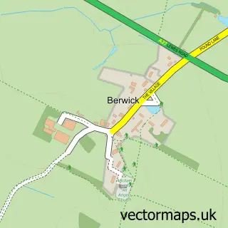
The 750-metre map sample for Chalvington covers 85 mapped buildings and approximately 8.4 km of road detail, of which 1 named road are named. The immediate area includes 1 MOT station within 2 miles. The wider area around Chalvington features 1 campsite within 2 miles. To create a larger or custom map of Chalvington, the map builder lets you define your own coverage area and download editable SVG, PDF and PNG files.
Create a larger editable map of Chalvington
Choose any area you need and generate a high-quality vector map instantly. Perfect for print, planning, design, business and personal use.

This Chalvington street map in East Sussex is available as downloadable SVG, PDF and PNG map files, or as a printed map for planning, business, display, education, local information and design work. You can also create a larger custom map area using the map selector.
What this Chalvington map sample shows
Chalvington lies within Chalvington With Ripe Cp parish, part of Arlington ward in the Wealden District local authority area. The postcode geography for this area includes the BN postcode area, the BN27 postcode district and the BN27 3 postcode sector. Residents fall under the Nhs Sussex Integrated Care Board for NHS services.
Local features near Chalvington
Within 2 milesAmenities and services in and around Chalvington.
Administrative and postcode information for Chalvington
Chalvington lies within Chalvington With Ripe Cp parish, part of Arlington ward in the Wealden District local authority area. The postcode geography for this area includes the BN postcode area, the BN27 postcode district and the BN27 3 postcode sector. Residents fall under the Nhs Sussex Integrated Care Board for NHS services.
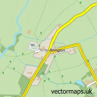
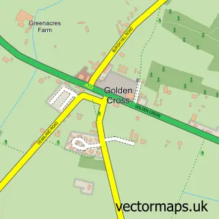
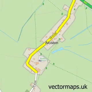
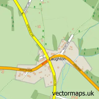
Nearby street map samples around Chalvington

More street maps in East Sussex
750 metre map area coverage
Boundary, postcode and point of interest information for the 750m x 750m rectangle centred on this sample map.
Boundaries containing map centre
Constituency: Lewes Co Const
County: East Sussex County
District: Wealden District
Icb: NHS Surrey and Sussex ICB
Parish: Chalvington with Ripe CP
Police Force: sussex
Postcode District: BN27
Postcode Sector: BN27 3
Ward: Arlington Ward
Nearby boundaries intersecting sample
Postcode District: BN8
Postcode Sector: BN8 6
Postcode coverage
POI category counts
Roofing: 2
Active Life: 1
Anglican Church: 1
Building Supply Store: 1
Charity Organization: 1
College University: 1
Education: 1
Equestrian Facility: 1
Health And Medical: 1
Interior Design: 1
Sample points of interest
- White Cottage Lake
- St Bartholomew
- One Stop Kitchens
- Human Givens Foundation
- Human Givens College
- The Resilient Life
- Little Meadow Stud
- Mind Fields College Ltd.
- Desalles Flint
- Dr Ruthie Aesthetics
- South East Groundcare Machinery
- Human Givens Publishing
Create a larger editable map of Chalvington
This sample shows only a 750 metre area. To create a larger map of Chalvington, use our map builder to choose your own coverage area, add titles and download editable SVG, PDF and PNG files.
Create a custom map of Chalvington