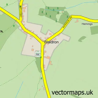
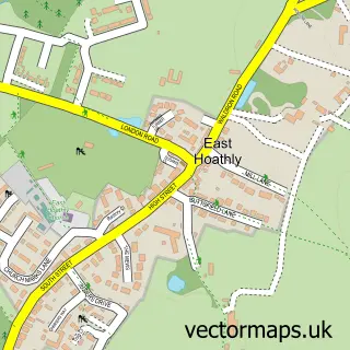
This Blackboys street map is a detailed vector street map covering a 750m x 750m area. Select a larger area to create and download your own vector street map of Blackboys.
The 750-metre map sample for Blackboys covers 159 mapped buildings and approximately 7.4 km of road detail, of which 10 named roads are named. The immediate area includes 1 school, 2 pubs and 1 MOT station within 2 miles. The wider area around Blackboys features 2 food and drink venues and 1 campsite within 2 miles. To create a larger or custom map of Blackboys, the map builder lets you define your own coverage area and download editable SVG, PDF and PNG files.
Create a larger editable map of Blackboys
Choose any area you need and generate a high-quality vector map instantly. Perfect for print, planning, design, business and personal use.

This Blackboys street map in East Sussex is available as downloadable SVG, PDF and PNG map files, or as a printed map for planning, business, display, education, local information and design work. You can also create a larger custom map area using the map selector.
What this Blackboys map sample shows
Blackboys lies within Framfield Cp parish, part of Framfield & Cross-In-Hand ward in the Wealden District local authority area. The postcode geography for this area includes the TN postcode area, the TN22 postcode district and the TN22 5 postcode sector. Residents fall under the Nhs Sussex Integrated Care Board for NHS services.
Local features near Blackboys
Within 2 milesAmenities and services in and around Blackboys.
Administrative and postcode information for Blackboys
The local authority covering Blackboys is Wealden District, within the county of East Sussex. The settlement lies within Framfield & Cross-In-Hand ward and Framfield Cp civil parish. The TN22 postcode district and TN22 5 postcode sector serve the immediate area. NHS provision in the area is delivered through Maidstone And Tunbridge Wells Nhs Trust.
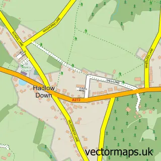
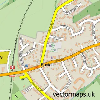
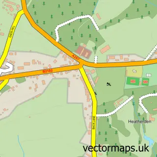
Nearby street map samples around Blackboys

More street maps in East Sussex
750 metre map area coverage
Boundary, postcode and point of interest information for the 750m x 750m rectangle centred on this sample map.
Boundaries containing map centre
Constituency: Sussex Weald Co Const
County: East Sussex County
District: Wealden District
Icb: NHS Surrey and Sussex ICB
Parish: Framfield CP
Police Force: sussex
Postcode District: TN22
Postcode Sector: TN22 5
Ward: Framfield & Cross-in-Hand Ward
Nearby boundaries intersecting sample
No additional intersecting boundaries found.
Postcode coverage
POI category counts
Elementary School: 2
Pub: 2
Automotive Repair: 1
Electronics: 1
Flowers And Gifts Shop: 1
Framing Store: 1
Gardener: 1
Human Resource Services: 1
Medical Center: 1
Nail Salon: 1
Sample points of interest
- GB Autos Uckfield Blackboys
- Saswitch
- Blackboys C of E Primary School
- Blackboys Ce School
- Fern Cottage Floristry
- Easyart
- Chris Blandford Associates
- Afh Payroll Solutions
- RDM Consultants
- Kitoko Nails and Beauty
- Hazel Carter Dog & Cat Behaviourist
- Blackboys Pre-School
Create a larger editable map of Blackboys
This sample shows only a 750 metre area. To create a larger map of Blackboys, use our map builder to choose your own coverage area, add titles and download editable SVG, PDF and PNG files.
Create a custom map of Blackboys