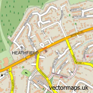
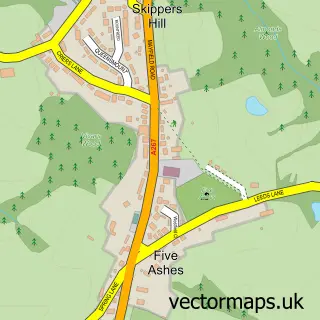
This Roser's Cross street map is a detailed vector street map covering a 750m x 750m area. Select a larger area to create and download your own vector street map of Roser's Cross.
The 750-metre map sample for Roser's Cross covers 116 mapped buildings and approximately 7.9 km of road detail, of which 6 named roads are named. The immediate area includes 6 MOT stations within 2 miles. The wider area around Roser's Cross features 1 campsite within 2 miles. To create a larger or custom map of Roser's Cross, the map builder lets you define your own coverage area and download editable SVG, PDF and PNG files.
Create a larger editable map of Roser's Cross
Choose any area you need and generate a high-quality vector map instantly. Perfect for print, planning, design, business and personal use.

This Roser's Cross street map in East Sussex is available as downloadable SVG, PDF and PNG map files, or as a printed map for planning, business, display, education, local information and design work. You can also create a larger custom map area using the map selector.
What this Roser's Cross map sample shows
Roser's Cross lies within Heathfield And Waldron Cp parish, part of Chiddingly, East Hoathly & Waldron ward in the Wealden District local authority area. The postcode geography for this area includes the TN postcode area, the TN21 postcode district and the TN21 0 postcode sector. Residents fall under the Nhs Sussex Integrated Care Board for NHS services.
Local features near Roser's Cross
Within 2 milesAmenities and services in and around Roser's Cross.
Administrative and postcode information for Roser's Cross
The local authority covering Roser's Cross is Wealden District, within the county of East Sussex. The settlement lies within Chiddingly, East Hoathly & Waldron ward and Heathfield And Waldron Cp civil parish. The TN21 postcode district and TN21 0 postcode sector serve the immediate area. NHS provision in the area is delivered through Maidstone And Tunbridge Wells Nhs Trust.
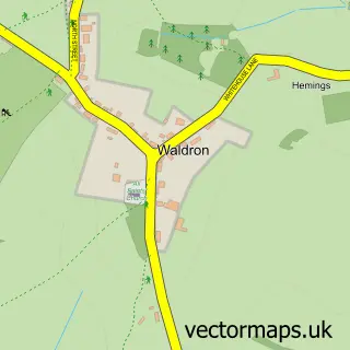
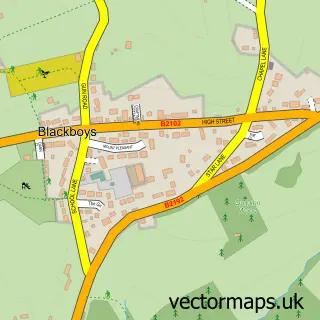
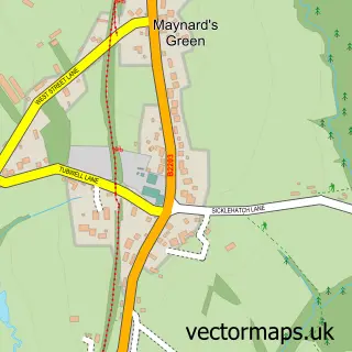
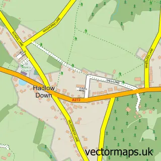
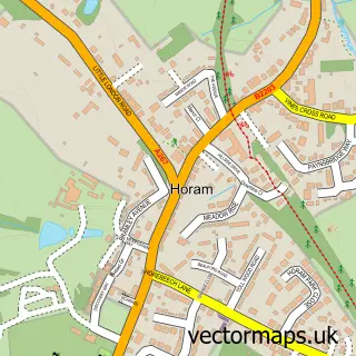
Nearby street map samples around Roser's Cross

More street maps in East Sussex
750 metre map area coverage
Boundary, postcode and point of interest information for the 750m x 750m rectangle centred on this sample map.
Boundaries containing map centre
Constituency: Sussex Weald Co Const
County: East Sussex County
District: Wealden District
Icb: NHS Surrey and Sussex ICB
Parish: Heathfield and Waldron CP
Police Force: sussex
Postcode District: TN21
Postcode Sector: TN21 0
Ward: Chiddingly, East Hoathly & Waldron Ward
Nearby boundaries intersecting sample
Ward: Framfield & Cross-in-Hand Ward
Postcode coverage
POI category counts
Engineering Services: 2
Business Consulting: 1
Counseling And Mental Health: 1
Electronics: 1
Engine Repair Service: 1
Food Beverage Service Distribution: 1
It Service And Computer Repair: 1
Music School: 1
Nature Reserve: 1
Retail: 1
Sample points of interest
- Briarcroft
- Claire Waughman Body Therapy
- Sounds of Music
- Blue Jay Frames
- Metalium Precision Engineering Ltd.
- Randoll Industrial
- Food Glorious Food
- Avex Building Computers
- Guitar Tech Courses
- Selwyns Wood Nature Reserve
- Bike Goo
Create a larger editable map of Roser's Cross
This sample shows only a 750 metre area. To create a larger map of Roser's Cross, use our map builder to choose your own coverage area, add titles and download editable SVG, PDF and PNG files.
Create a custom map of Roser's Cross