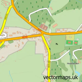
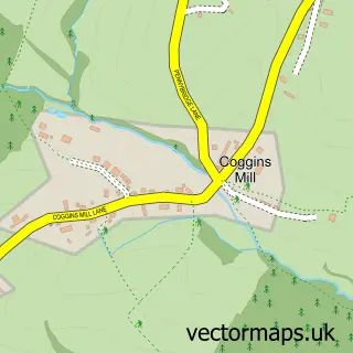
This Five Ashes street map is a detailed vector street map covering a 750m x 750m area. Select a larger area to create and download your own vector street map of Five Ashes.
The 750-metre map sample for Five Ashes covers 151 mapped buildings and approximately 11.0 km of road detail, of which 8 named roads are named. The immediate area includes 1 school, 1 GP surgery within 2 miles and 1 MOT station, with 3 within 2 miles. The wider area around Five Ashes features 1 tourism point of interest and 1 food and drink venue. To create a larger or custom map of Five Ashes, the map builder lets you define your own coverage area and download editable SVG, PDF and PNG files.
Create a larger editable map of Five Ashes
Choose any area you need and generate a high-quality vector map instantly. Perfect for print, planning, design, business and personal use.

This Five Ashes street map in East Sussex is available as downloadable SVG, PDF and PNG map files, or as a printed map for planning, business, display, education, local information and design work. You can also create a larger custom map area using the map selector.
What this Five Ashes map sample shows
Five Ashes lies within Mayfield And Five Ashes Cp parish, part of Mayfield & Five Ashes ward in the Wealden District local authority area. The postcode geography for this area includes the TN postcode area, the TN20 postcode district and the TN20 6 postcode sector. Residents fall under the Nhs Sussex Integrated Care Board for NHS services.
Local features near Five Ashes
Within 2 milesAmenities and services in and around Five Ashes.
Administrative and postcode information for Five Ashes
Five Ashes lies within Mayfield And Five Ashes Cp parish, part of Mayfield & Five Ashes ward in the Wealden District local authority area. The postcode geography for this area includes the TN postcode area, the TN20 postcode district and the TN20 6 postcode sector. Residents fall under the Nhs Sussex Integrated Care Board for NHS services.
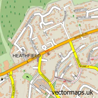
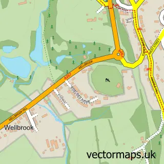
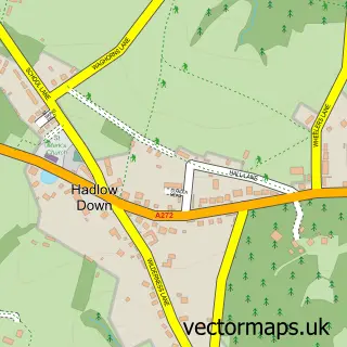
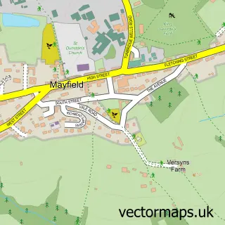
Nearby street map samples around Five Ashes

More street maps in East Sussex
750 metre map area coverage
Boundary, postcode and point of interest information for the 750m x 750m rectangle centred on this sample map.
Boundaries containing map centre
Constituency: Sussex Weald Co Const
County: East Sussex County
District: Wealden District
Icb: NHS Surrey and Sussex ICB
Parish: Mayfield and Five Ashes CP
Police Force: sussex
Postcode District: TN20
Postcode Sector: TN20 6
Ward: Mayfield & Five Ashes Ward
Nearby boundaries intersecting sample
No additional intersecting boundaries found.
Postcode coverage
POI category counts
Pet Store: 2
Animal Shelter: 1
Arts And Entertainment: 1
Building Supply Store: 1
Car Dealer: 1
Childrens Clothing Store: 1
Education: 1
Elementary School: 1
Furniture Store: 1
Hospice: 1
Sample points of interest
- Mayfield Cattery
- Royal Hippodrome, Eastbourne
- Hot 'n' Cold Heating & Plumbing
- Paragon
- Sue Hill Childrenswear
- Five Ashes C of E Primary School
- Five Ashes C of E Primary School
- Almond Barn - Fine Furniture
- Hospice in the Weald - Cottage Hospice
- The Five Ashes Inn
- Kent & Sussex IT Services
- Five Ashes
Create a larger editable map of Five Ashes
This sample shows only a 750 metre area. To create a larger map of Five Ashes, use our map builder to choose your own coverage area, add titles and download editable SVG, PDF and PNG files.
Create a custom map of Five Ashes