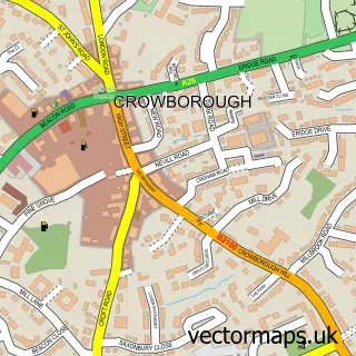
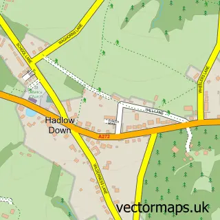
This Rotherfield street map is a detailed vector street map covering a 750m x 750m area. Select a larger area to create and download your own vector street map of Rotherfield.
The 750-metre map sample for Rotherfield covers 295 mapped buildings and approximately 9.5 km of road detail, of which 13 named roads are named. The immediate area includes 1 school, 1 GP surgery within 2 miles, 3 pubs and 4 MOT stations within 2 miles. The wider area around Rotherfield features 2 tourism points of interest and 6 food and drink venues. To create a larger or custom map of Rotherfield, the map builder lets you define your own coverage area and download editable SVG, PDF and PNG files.
Create a larger editable map of Rotherfield
Choose any area you need and generate a high-quality vector map instantly. Perfect for print, planning, design, business and personal use.

This Rotherfield street map in East Sussex is available as downloadable SVG, PDF and PNG map files, or as a printed map for planning, business, display, education, local information and design work. You can also create a larger custom map area using the map selector.
What this Rotherfield map sample shows
Rotherfield lies within Rotherfield Cp parish, part of Hadlow Down & Rotherfield ward in the Wealden District local authority area. The postcode geography for this area includes the TN postcode area, the TN6 postcode district and the TN6 3 postcode sector. Residents fall under the Nhs Sussex Integrated Care Board for NHS services.
Local features near Rotherfield
Within 2 milesAmenities and services in and around Rotherfield.
Administrative and postcode information for Rotherfield
Rotherfield lies within Rotherfield Cp parish, part of Hadlow Down & Rotherfield ward in the Wealden District local authority area. The postcode geography for this area includes the TN postcode area, the TN6 postcode district and the TN6 3 postcode sector. Residents fall under the Nhs Sussex Integrated Care Board for NHS services.
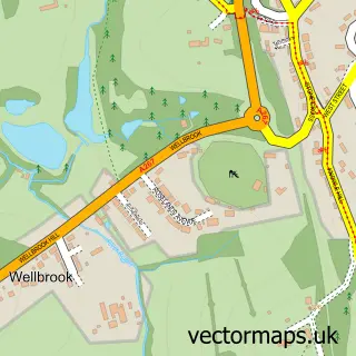
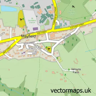
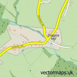
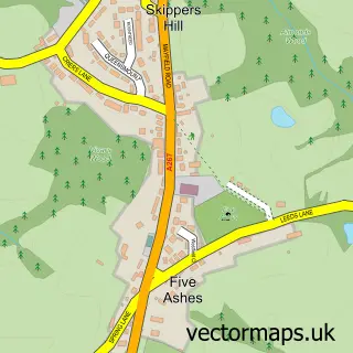
Nearby street map samples around Rotherfield

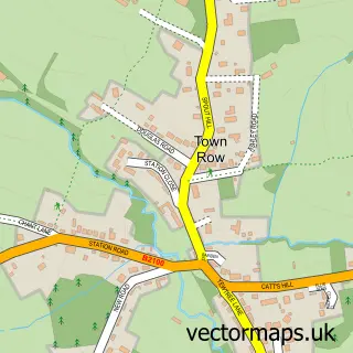
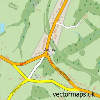
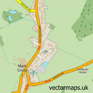
More street maps in East Sussex
750 metre map area coverage
Boundary, postcode and point of interest information for the 750m x 750m rectangle centred on this sample map.
Boundaries containing map centre
Constituency: Sussex Weald Co Const
County: East Sussex County
District: Wealden District
Icb: NHS Surrey and Sussex ICB
Parish: Rotherfield CP
Police Force: sussex
Postcode District: TN6
Postcode Sector: TN6 3
Ward: Hadlow Down & Rotherfield Ward
Nearby boundaries intersecting sample
No additional intersecting boundaries found.
Postcode coverage
POI category counts
Car Dealer: 3
Professional Services: 3
Pub: 3
Sports Club And League: 3
Hobby Shop: 2
Preschool: 2
Antique Store: 1
Architectural Designer: 1
Auto Upholstery: 1
Automotive: 1
Sample points of interest
- Ashdown Again
- Tangent Space Ltd
- Anne Harman Interiors
- Kennedy Bros - Ford
- Lox of Rotherfield-hair design
- Lox Hair Design Rotherfield
- FISSSH
- Siteseal Services
- The Courtyard
- Kennedy Bros Eng Ltd
- P&S Autos
- Rotherfield Mini Centre
Create a larger editable map of Rotherfield
This sample shows only a 750 metre area. To create a larger map of Rotherfield, use our map builder to choose your own coverage area, add titles and download editable SVG, PDF and PNG files.
Create a custom map of Rotherfield