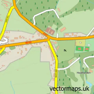
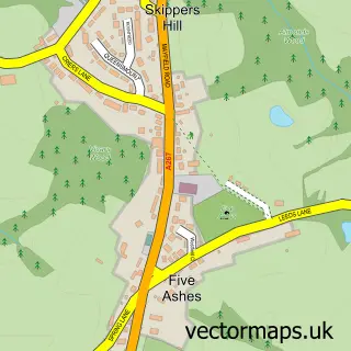
This Heathfield street map is a detailed vector street map covering a 750m x 750m area. Select a larger area to create and download your own vector street map of Heathfield.
The 750-metre map sample for Heathfield covers 481 mapped buildings and approximately 15.4 km of road detail, of which 30 named roads are named. The immediate area includes 1 MOT station, with 8 within 2 miles. The wider area around Heathfield features 1 tourism point of interest and 9 food and drink venues. To create a larger or custom map of Heathfield, the map builder lets you define your own coverage area and download editable SVG, PDF and PNG files.
Create a larger editable map of Heathfield
Choose any area you need and generate a high-quality vector map instantly. Perfect for print, planning, design, business and personal use.

This Heathfield street map in East Sussex is available as downloadable SVG, PDF and PNG map files, or as a printed map for planning, business, display, education, local information and design work. You can also create a larger custom map area using the map selector.
What this Heathfield map sample shows
Heathfield lies within Heathfield And Waldron Cp parish, part of Heathfield North ward in the Wealden District local authority area. The postcode geography for this area includes the TN postcode area, the TN21 postcode district and the TN21 8 postcode sector. Residents fall under the Nhs Sussex Integrated Care Board for NHS services.
Local features near Heathfield
Within 2 milesAmenities and services in and around Heathfield.
Administrative and postcode information for Heathfield
Heathfield lies within Heathfield And Waldron Cp parish, part of Heathfield North ward in the Wealden District local authority area. The postcode geography for this area includes the TN postcode area, the TN21 postcode district and the TN21 8 postcode sector. Residents fall under the Nhs Sussex Integrated Care Board for NHS services.
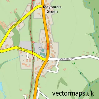
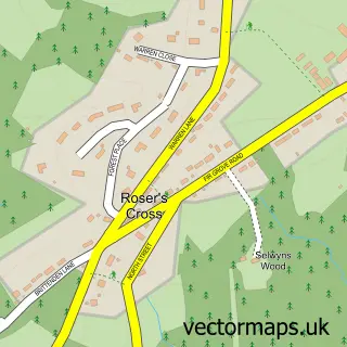
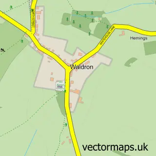
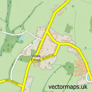
Nearby street map samples around Heathfield

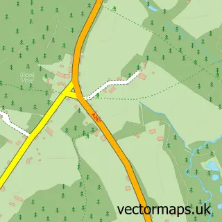
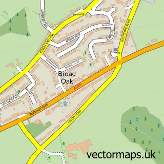
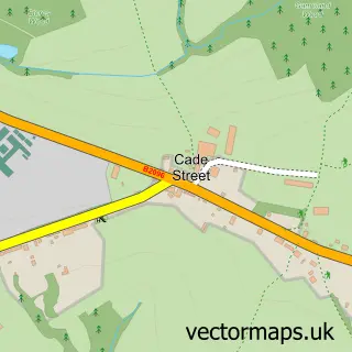
More street maps in East Sussex
750 metre map area coverage
Boundary, postcode and point of interest information for the 750m x 750m rectangle centred on this sample map.
Boundaries containing map centre
Constituency: Sussex Weald Co Const
County: East Sussex County
District: Wealden District
Icb: NHS Surrey and Sussex ICB
Parish: Heathfield and Waldron CP
Police Force: sussex
Postcode District: TN21
Postcode Sector: TN21 8
Ward: Heathfield North Ward
Nearby boundaries intersecting sample
Postcode Sector: TN21 0
Ward: Heathfield South Ward
Postcode coverage
POI category counts
Professional Services: 8
Barber: 6
Beauty Salon: 6
Charity Organization: 6
Cafe: 5
Flowers And Gifts Shop: 5
Hair Salon: 5
Indian Restaurant: 5
Supermarket: 5
Accountant: 4
Sample points of interest
- Always Accounting
- Manningtons
- Manningtons
- Ross Accountancy Services
- Bottom Line Design
- The Pig Sty
- Tinker & Toad
- Kensington Domestic Appliances
- Crafty Kits
- Heathfield crafts
- Yaw's Kitchen
- Davenport Park
Create a larger editable map of Heathfield
This sample shows only a 750 metre area. To create a larger map of Heathfield, use our map builder to choose your own coverage area, add titles and download editable SVG, PDF and PNG files.
Create a custom map of Heathfield