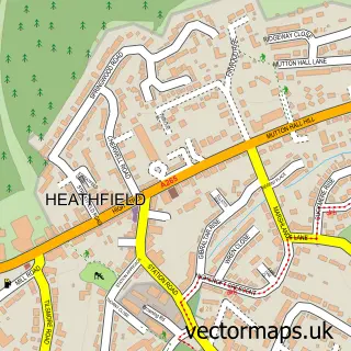
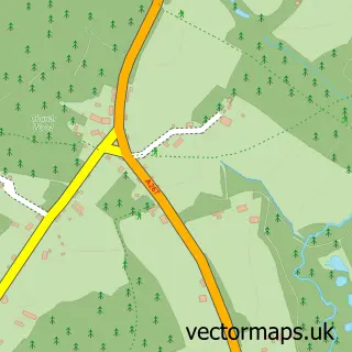
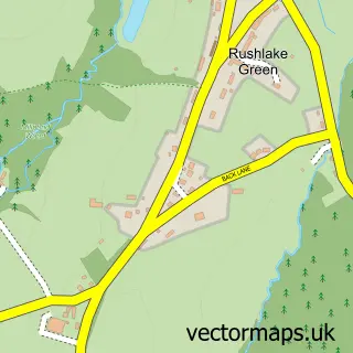
This Broad Oak street map is a detailed vector street map covering a 750m x 750m area. Select a larger area to create and download your own vector street map of Broad Oak.
The 750-metre map sample for Broad Oak covers 297 mapped buildings and approximately 12.0 km of road detail, of which 13 named roads are named. The immediate area includes 4 MOT stations within 2 miles. The wider area around Broad Oak features 1 food and drink venue. To create a larger or custom map of Broad Oak, the map builder lets you define your own coverage area and download editable SVG, PDF and PNG files.
Create a larger editable map of Broad Oak
Choose any area you need and generate a high-quality vector map instantly. Perfect for print, planning, design, business and personal use.

This Broad Oak street map in East Sussex is available as downloadable SVG, PDF and PNG map files, or as a printed map for planning, business, display, education, local information and design work. You can also create a larger custom map area using the map selector.
What this Broad Oak map sample shows
Broad Oak lies within Heathfield And Waldron Cp parish, part of Horam & Punnetts Town ward in the Wealden District local authority area. The postcode geography for this area includes the TN postcode area, the TN21 postcode district and the TN21 8 postcode sector. Residents fall under the Nhs Sussex Integrated Care Board for NHS services.
Local features near Broad Oak
Within 2 milesAmenities and services in and around Broad Oak.
Administrative and postcode information for Broad Oak
Broad Oak lies within Heathfield And Waldron Cp parish, part of Horam & Punnetts Town ward in the Wealden District local authority area. The postcode geography for this area includes the TN postcode area, the TN21 postcode district and the TN21 8 postcode sector. Residents fall under the Nhs Sussex Integrated Care Board for NHS services.
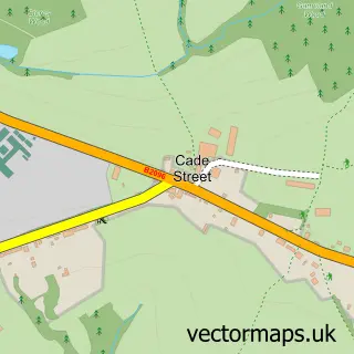
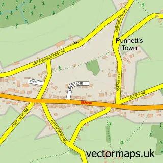
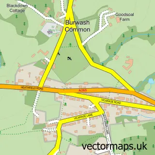
Nearby street map samples around Broad Oak

More street maps in East Sussex
750 metre map area coverage
Boundary, postcode and point of interest information for the 750m x 750m rectangle centred on this sample map.
Boundaries containing map centre
Constituency: Sussex Weald Co Const
County: East Sussex County
District: Wealden District
Icb: NHS Surrey and Sussex ICB
Parish: Heathfield and Waldron CP
Police Force: sussex
Postcode District: TN21
Postcode Sector: TN21 8
Ward: Horam & Punnetts Town Ward
Nearby boundaries intersecting sample
No additional intersecting boundaries found.
Postcode coverage
POI category counts
Advertising Agency: 3
Building Supply Store: 3
Preschool: 2
Shipping Center: 2
Anglican Church: 1
Arts And Entertainment: 1
Cafe: 1
Church Cathedral: 1
Cleaning Services: 1
Community Center: 1
Sample points of interest
- Graffiti Design
- Jardine Advertising
- Page to Page
- St George's Church, Broad Oak
- Broad Oak
- Bathglaze
- Jkc Plumbing & Heating Limited
- Top Lawn
- Tottingworth Farm
- Ebenezer Strict Baptist Chapel
- Dream Cleans
- Broad Oak Village Hall
Create a larger editable map of Broad Oak
This sample shows only a 750 metre area. To create a larger map of Broad Oak, use our map builder to choose your own coverage area, add titles and download editable SVG, PDF and PNG files.
Create a custom map of Broad Oak