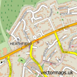
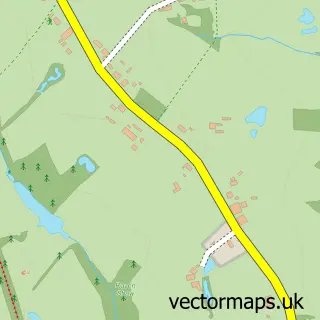
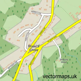
This Maynard's Green street map is a detailed vector street map covering a 750m x 750m area. Select a larger area to create and download your own vector street map of Maynard's Green.
The 750-metre map sample for Maynard's Green covers 126 mapped buildings and approximately 5.7 km of road detail, of which 3 named roads are named. The immediate area includes 1 school, 1 pub and 6 MOT stations within 2 miles. The wider area around Maynard's Green features 1 tourism point of interest, 1 food and drink venue and 4 campsites within 2 miles. To create a larger or custom map of Maynard's Green, the map builder lets you define your own coverage area and download editable SVG, PDF and PNG files.
Create a larger editable map of Maynard's Green
Choose any area you need and generate a high-quality vector map instantly. Perfect for print, planning, design, business and personal use.

This Maynard's Green street map in East Sussex is available as downloadable SVG, PDF and PNG map files, or as a printed map for planning, business, display, education, local information and design work. You can also create a larger custom map area using the map selector.
What this Maynard's Green map sample shows
Maynard's Green lies within Horam Cp parish, part of Horam & Punnetts Town ward in the Wealden District local authority area. The postcode geography for this area includes the TN postcode area, the TN21 postcode district and the TN21 0 postcode sector. Residents fall under the Nhs Sussex Integrated Care Board for NHS services.
Local features near Maynard's Green
Within 2 milesAmenities and services in and around Maynard's Green.
Administrative and postcode information for Maynard's Green
Maynard's Green lies within Horam Cp parish, part of Horam & Punnetts Town ward in the Wealden District local authority area. The postcode geography for this area includes the TN postcode area, the TN21 postcode district and the TN21 0 postcode sector. Residents fall under the Nhs Sussex Integrated Care Board for NHS services.
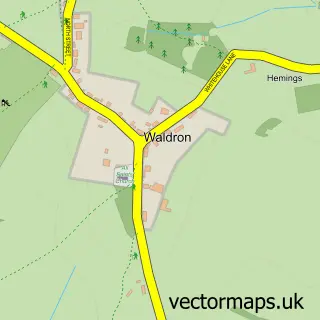
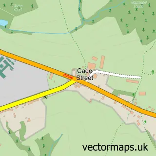
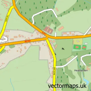
Nearby street map samples around Maynard's Green

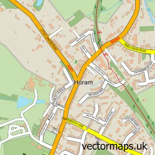
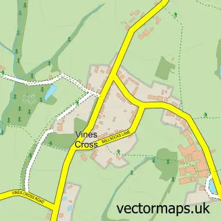
More street maps in East Sussex
750 metre map area coverage
Boundary, postcode and point of interest information for the 750m x 750m rectangle centred on this sample map.
Boundaries containing map centre
Constituency: Sussex Weald Co Const
County: East Sussex County
District: Wealden District
Icb: NHS Surrey and Sussex ICB
Parish: Horam CP
Police Force: sussex
Postcode District: TN21
Postcode Sector: TN21 0
Ward: Horam & Punnetts Town Ward
Nearby boundaries intersecting sample
Parish: Heathfield and Waldron CP
Postcode coverage
POI category counts
Audio Visual Equipment Store: 2
Beauty And Spa: 1
Elementary School: 1
Employment Agencies: 1
Furniture Store: 1
Home Health Care: 1
Kids Recreation And Party: 1
Landmark And Historical Building: 1
Media Agency: 1
Oil And Gas: 1
Sample points of interest
- Gig Screen
- Vortice AV Direct
- Live Your Beauty by Liz Browne
- Maynards Green Community Primary School
- PAW Associates
- Accord Audio
- Wealden Community Care
- White Ice Sounds
- Maynards Green
- Hoofbeat Magazine
- Vortice
- Runt In Tun Pub
Create a larger editable map of Maynard's Green
This sample shows only a 750 metre area. To create a larger map of Maynard's Green, use our map builder to choose your own coverage area, add titles and download editable SVG, PDF and PNG files.
Create a custom map of Maynard's Green