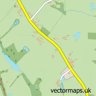
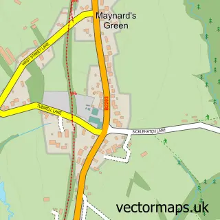
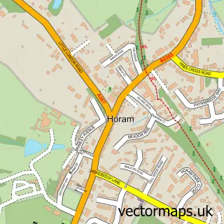
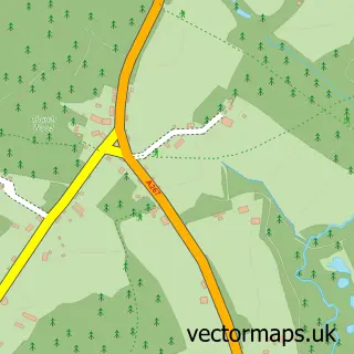
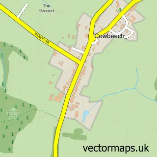
This Vines Cross street map is a detailed vector street map covering a 750m x 750m area. Select a larger area to create and download your own vector street map of Vines Cross.
The 750-metre map sample for Vines Cross covers 126 mapped buildings and approximately 6.3 km of road detail, of which 2 named roads are named. The immediate area includes 1 pub and 1 MOT station within 2 miles. The wider area around Vines Cross features 1 food and drink venue and 3 campsites within 2 miles. To create a larger or custom map of Vines Cross, the map builder lets you define your own coverage area and download editable SVG, PDF and PNG files.
Create a larger editable map of Vines Cross
Choose any area you need and generate a high-quality vector map instantly. Perfect for print, planning, design, business and personal use.

This Vines Cross street map in East Sussex is available as downloadable SVG, PDF and PNG map files, or as a printed map for planning, business, display, education, local information and design work. You can also create a larger custom map area using the map selector.
What this Vines Cross map sample shows
Vines Cross lies within Horam Cp parish, part of Horam & Punnetts Town ward in the Wealden District local authority area. The postcode geography for this area includes the TN postcode area, the TN21 postcode district and the TN21 9 postcode sector. Residents fall under the Nhs Sussex Integrated Care Board for NHS services.
Local features near Vines Cross
Within 2 milesAmenities and services in and around Vines Cross.
Administrative and postcode information for Vines Cross
The local authority covering Vines Cross is Wealden District, within the county of East Sussex. The settlement lies within Horam & Punnetts Town ward and Horam Cp civil parish. The TN21 postcode district and TN21 9 postcode sector serve the immediate area. NHS provision in the area is delivered through East Sussex Healthcare Nhs Trust.
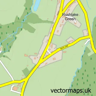
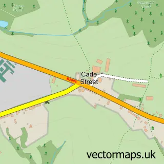
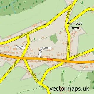
Nearby street map samples around Vines Cross

More street maps in East Sussex
750 metre map area coverage
Boundary, postcode and point of interest information for the 750m x 750m rectangle centred on this sample map.
Boundaries containing map centre
Constituency: Sussex Weald Co Const
County: East Sussex County
District: Wealden District
Icb: NHS Surrey and Sussex ICB
Parish: Horam CP
Police Force: sussex
Postcode District: TN21
Postcode Sector: TN21 9
Ward: Horam & Punnetts Town Ward
Nearby boundaries intersecting sample
Parish: Warbleton CP
Postcode coverage
POI category counts
Art School: 1
Auto Detailing: 1
Automotive Dealer: 1
Automotive Repair: 1
Bakery: 1
Beauty Salon: 1
Building Contractor: 1
Business Management Services: 1
Car Dealer: 1
Gym: 1
Sample points of interest
- Cherry Spring Studio
- CMB Auto Valet
- Parker Motors
- James Lindridge Automotive
- All about the Cake
- S.E Nails
- Monarch Oak
- Publicity Systems
- ARK Motors
- Fabulous beyond 40
- Altkey Locksmiths
- Sussex Fruit Trees
Create a larger editable map of Vines Cross
This sample shows only a 750 metre area. To create a larger map of Vines Cross, use our map builder to choose your own coverage area, add titles and download editable SVG, PDF and PNG files.
Create a custom map of Vines Cross