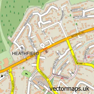
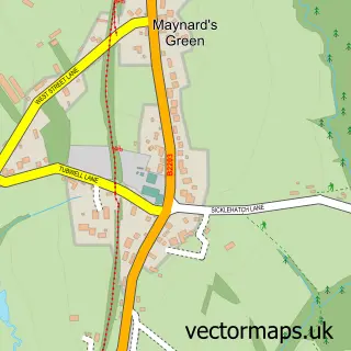
This Punnett's Town street map is a detailed vector street map covering a 750m x 750m area. Select a larger area to create and download your own vector street map of Punnett's Town.
The 750-metre map sample for Punnett's Town covers 191 mapped buildings and approximately 12.8 km of road detail, of which 7 named roads are named. To create a larger or custom map of Punnett's Town, the map builder lets you define your own coverage area and download editable SVG, PDF and PNG files.
Create a larger editable map of Punnett's Town
Choose any area you need and generate a high-quality vector map instantly. Perfect for print, planning, design, business and personal use.

This Punnett's Town street map in East Sussex is available as downloadable SVG, PDF and PNG map files, or as a printed map for planning, business, display, education, local information and design work. You can also create a larger custom map area using the map selector.
What this Punnett's Town map sample shows
Punnett's Town lies within Heathfield And Waldron Cp parish, part of Horam & Punnetts Town ward in the Wealden District local authority area. The postcode geography for this area includes the TN postcode area, the TN21 postcode district and the TN21 9 postcode sector. Residents fall under the Nhs Sussex Integrated Care Board for NHS services.
Local features near Punnett's Town
Within 2 milesAmenities and services in and around Punnett's Town.
Administrative and postcode information for Punnett's Town
Punnett's Town lies within Heathfield And Waldron Cp parish, part of Horam & Punnetts Town ward in the Wealden District local authority area. The postcode geography for this area includes the TN postcode area, the TN21 postcode district and the TN21 9 postcode sector. Residents fall under the Nhs Sussex Integrated Care Board for NHS services.
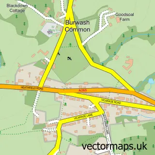
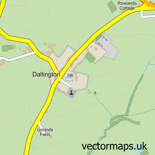
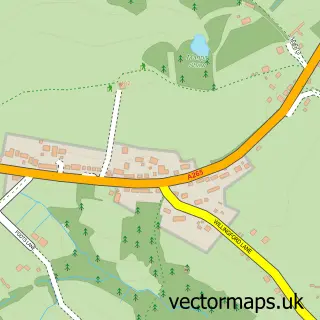
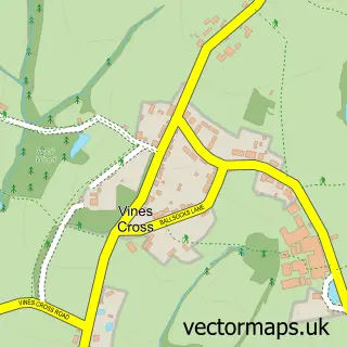
Nearby street map samples around Punnett's Town

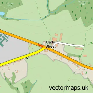
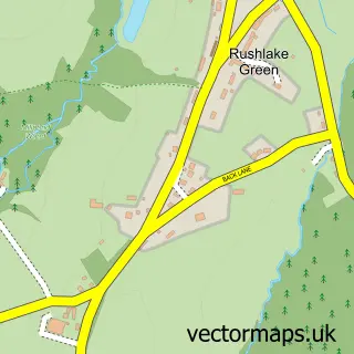
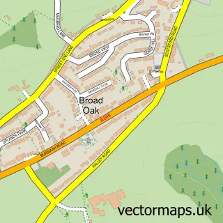
More street maps in East Sussex
750 metre map area coverage
Boundary, postcode and point of interest information for the 750m x 750m rectangle centred on this sample map.
Boundaries containing map centre
Constituency: Sussex Weald Co Const
County: East Sussex County
District: Wealden District
Icb: NHS Surrey and Sussex ICB
Parish: Heathfield and Waldron CP
Police Force: sussex
Postcode District: TN21
Postcode Sector: TN21 9
Ward: Horam & Punnetts Town Ward
Nearby boundaries intersecting sample
Parish: Warbleton CP
Postcode coverage
POI category counts
Automotive Services And Repair: 1
Business Consulting: 1
Caterer: 1
Construction Services: 1
Doctor: 1
Gym: 1
Land Surveying: 1
Pet Groomer: 1
Podiatrist: 1
Reflexology: 1
Sample points of interest
- Bumper Scuff Repair North East
- Fleet Lifeline
- Kendale Catering
- Copperoak Property Services Limited
- Punnetts Town Medical Centre
- Pink Fox Fitness
- Boundaries Partnering
- Barkley's Dog Grooming
- L Taylor Rodda
- Heathfield Reflexology
- TrainSharp Cycle Coaching
- Dunn Village Hall
Create a larger editable map of Punnett's Town
This sample shows only a 750 metre area. To create a larger map of Punnett's Town, use our map builder to choose your own coverage area, add titles and download editable SVG, PDF and PNG files.
Create a custom map of Punnett's Town