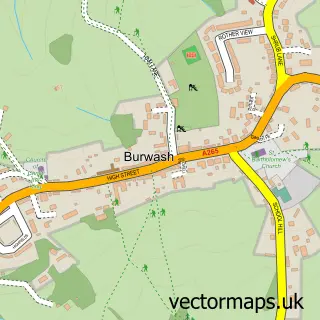
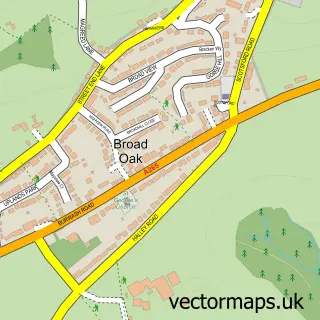
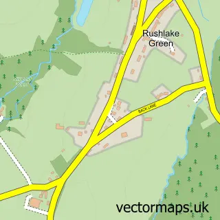
This Burwash Common street map is a detailed vector street map covering a 750m x 750m area. Select a larger area to create and download your own vector street map of Burwash Common.
The 750-metre map sample for Burwash Common covers 184 mapped buildings and approximately 11.7 km of road detail, of which 5 named roads are named. The wider area around Burwash Common features 1 tourism point of interest and 2 food and drink venues. To create a larger or custom map of Burwash Common, the map builder lets you define your own coverage area and download editable SVG, PDF and PNG files.
Create a larger editable map of Burwash Common
Choose any area you need and generate a high-quality vector map instantly. Perfect for print, planning, design, business and personal use.

This Burwash Common street map in East Sussex is available as downloadable SVG, PDF and PNG map files, or as a printed map for planning, business, display, education, local information and design work. You can also create a larger custom map area using the map selector.
What this Burwash Common map sample shows
Burwash Common lies within Burwash Cp parish, part of Burwash & The Weald ward in the Rother District local authority area. The postcode geography for this area includes the TN postcode area, the TN19 postcode district and the TN19 7 postcode sector. Residents fall under the Nhs Sussex Integrated Care Board for NHS services.
Local features near Burwash Common
Within 2 milesAmenities and services in and around Burwash Common.
Administrative and postcode information for Burwash Common
Burwash Common lies within Burwash Cp parish, part of Burwash & The Weald ward in the Rother District local authority area. The postcode geography for this area includes the TN postcode area, the TN19 postcode district and the TN19 7 postcode sector. Residents fall under the Nhs Sussex Integrated Care Board for NHS services.
Nearby street map samples around Burwash Common

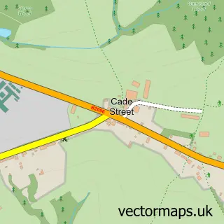
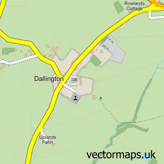
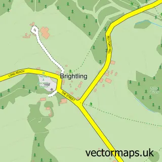
More street maps in East Sussex
750 metre map area coverage
Boundary, postcode and point of interest information for the 750m x 750m rectangle centred on this sample map.
Boundaries containing map centre
Constituency: Bexhill and Battle Co Const
County: East Sussex County
District: Rother District
Icb: NHS Surrey and Sussex ICB
Parish: Burwash CP
Police Force: sussex
Postcode District: TN19
Postcode Sector: TN19 7
Ward: Burwash & the Weald Ward
Nearby boundaries intersecting sample
No additional intersecting boundaries found.
Postcode coverage
POI category counts
Cafe: 2
Accommodation: 1
Anglican Church: 1
Auto Manufacturers And Distributors: 1
Building Supply Store: 1
Community Center: 1
Fashion: 1
Flooring Store: 1
Fruits And Vegetables: 1
Health Market: 1
Sample points of interest
- Oakdown House
- St Philip's
- Lite-Steer
- Carl & Fiona Christian
- The Old Orchard Nursery
- The Village Shop and Cafe Burwash Common
- Burwash Common Pavilion
- Kandydanceco
- Fine Tiling
- Simply Veg
- Higher Nature
- Sabre Joinery
Create a larger editable map of Burwash Common
This sample shows only a 750 metre area. To create a larger map of Burwash Common, use our map builder to choose your own coverage area, add titles and download editable SVG, PDF and PNG files.
Create a custom map of Burwash Common