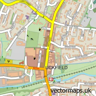
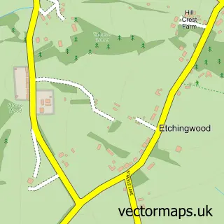
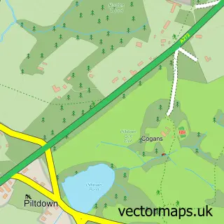
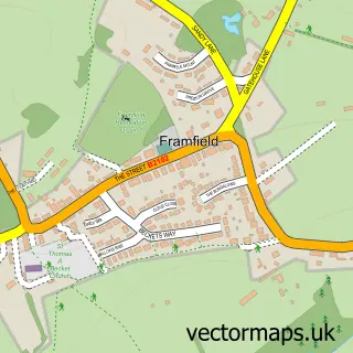
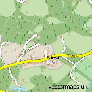
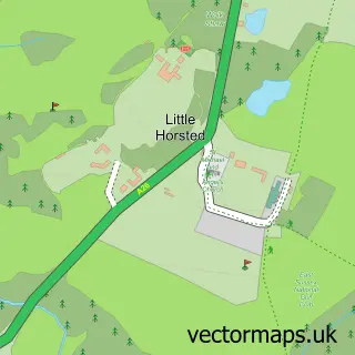
This Ringles Cross street map is a detailed vector street map covering a 750m x 750m area. Select a larger area to create and download your own vector street map of Ringles Cross.
The 750-metre map sample for Ringles Cross covers 133 mapped buildings and approximately 6.6 km of road detail, of which 4 named roads are named. The immediate area includes 3 GP surgeries within 2 miles, 1 pub and 7 MOT stations within 2 miles. The wider area around Ringles Cross features 1 food and drink venue. To create a larger or custom map of Ringles Cross, the map builder lets you define your own coverage area and download editable SVG, PDF and PNG files.
Create a larger editable map of Ringles Cross
Choose any area you need and generate a high-quality vector map instantly. Perfect for print, planning, design, business and personal use.

This Ringles Cross street map in East Sussex is available as downloadable SVG, PDF and PNG map files, or as a printed map for planning, business, display, education, local information and design work. You can also create a larger custom map area using the map selector.
What this Ringles Cross map sample shows
Ringles Cross lies within Uckfield Cp parish, part of Uckfield North ward in the Wealden District local authority area. The postcode geography for this area includes the TN postcode area, the TN22 postcode district and the TN22 1 postcode sector. Residents fall under the Nhs Sussex Integrated Care Board for NHS services.
Local features near Ringles Cross
Within 2 milesAmenities and services in and around Ringles Cross.
Administrative and postcode information for Ringles Cross
The local authority covering Ringles Cross is Wealden District, within the county of East Sussex. The settlement lies within Uckfield North ward and Uckfield Cp civil parish. The TN22 postcode district and TN22 1 postcode sector serve the immediate area. NHS provision in the area is delivered through University Hospitals Sussex Nhs Foundation Trust.
Nearby street map samples around Ringles Cross

More street maps in East Sussex
750 metre map area coverage
Boundary, postcode and point of interest information for the 750m x 750m rectangle centred on this sample map.
Boundaries containing map centre
Constituency: East Grinstead and Uckfield Co Const
County: East Sussex County
District: Wealden District
Icb: NHS Surrey and Sussex ICB
Parish: Buxted CP
Police Force: sussex
Postcode District: TN22
Postcode Sector: TN22 1
Ward: Uckfield North Ward
Nearby boundaries intersecting sample
Parish: Uckfield CP
Postcode Sector: TN22 2, TN22 3
Ward: Buxted Ward
Postcode coverage
POI category counts
Used Car Dealer: 2
Arts And Entertainment: 1
Beer Bar: 1
Business: 1
Car Dealer: 1
Car Wash: 1
Corporate Entertainment Services: 1
Financial Service: 1
Marketing Agency: 1
Party And Event Planning: 1
Sample points of interest
- Classic Hospitality Ltd
- Ringles Cross
- Pivotal Moment
- Chichester Caravans
- Autoshine
- Corporate Entertainment Co
- Trevor Powell Accountancy
- Digital Tango
- Corporate Entertainment Company
- M Grant Christmas Trees
- The Ringles Cross
- Chichester Caravans
Create a larger editable map of Ringles Cross
This sample shows only a 750 metre area. To create a larger map of Ringles Cross, use our map builder to choose your own coverage area, add titles and download editable SVG, PDF and PNG files.
Create a custom map of Ringles Cross