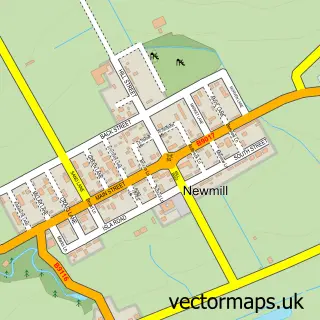
This Keith street map is a detailed vector street map covering a 750m x 750m area. Select a larger area to create and download your own vector street map of Keith.
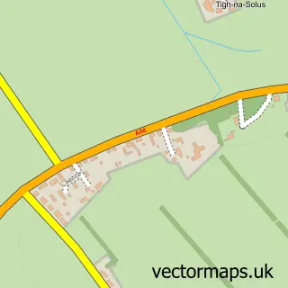
The 750-metre map sample for Keith covers 530 mapped buildings and approximately 22.5 km of road detail, of which 64 named roads are named. The immediate area includes 1 railway station, 1 GP surgery, 1 pub and 4 MOT stations within 2 miles. The wider area around Keith features 3 tourism points of interest, 3 food and drink venues and 5 hotels. To create a larger or custom map of Keith, the map builder lets you define your own coverage area and download editable SVG, PDF and PNG files.
Create a larger editable map of Keith
Choose any area you need and generate a high-quality vector map instantly. Perfect for print, planning, design, business and personal use.

This Keith street map in Banffshire is available as downloadable SVG, PDF and PNG map files, or as a printed map for planning, business, display, education, local information and design work. You can also create a larger custom map area using the map selector.
What this Keith map sample shows
Keith lies within Moray parish, part of Keith And Cullen ward in the Moray local authority area. The postcode geography for this area includes the AB postcode area, the AB55 postcode district and the AB55 5 postcode sector. Residents fall under the Grampian for NHS services.
Local features near Keith
Within 2 milesAmenities and services in and around Keith.
Administrative and postcode information for Keith
The local authority covering Keith is Moray, within the county of Banffshire. The settlement lies within Keith And Cullen ward and Moray civil parish. The AB55 postcode district and AB55 5 postcode sector serve the immediate area. NHS provision in the area is delivered through Grampian.
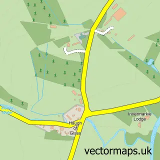
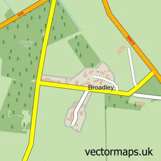
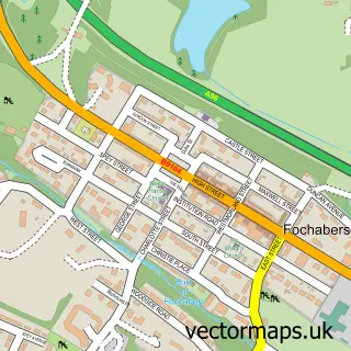
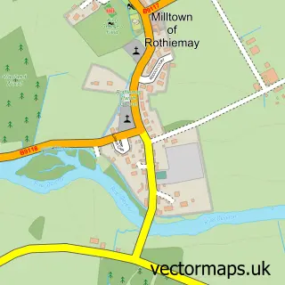
Nearby street map samples around Keith

More street maps in Banffshire
750 metre map area coverage
Boundary, postcode and point of interest information for the 750m x 750m rectangle centred on this sample map.
Boundaries containing map centre
Constituency: Aberdeenshire North and Moray East Co Const
District: Moray
Icb: Grampian
Postcode District: AB55
Postcode Sector: AB55 5
Ward: Keith and Cullen Ward
Nearby boundaries intersecting sample
No additional intersecting boundaries found.
Postcode coverage
POI category counts
Hotel: 5
Bakery: 4
Fast Food Restaurant: 4
Professional Services: 4
Bar: 3
Church Cathedral: 3
Discount Store: 3
Flowers And Gifts Shop: 3
Furniture Store: 3
Grocery Store: 3
Sample points of interest
- Graeme Munro & Company
- Buyseoservices
- Harmony Therapies
- The Old Curiousity Shop
- A M McPherson Ltd.
- George Nicol Kitchens & Bathrooms Ltd.
- Dogstar Cards
- Glenisla Frames
- Weston House
- Moray Campers
- Keith Motorist DIY
- Keith Garage
Create a larger editable map of Keith
This sample shows only a 750 metre area. To create a larger map of Keith, use our map builder to choose your own coverage area, add titles and download editable SVG, PDF and PNG files.
Create a custom map of Keith