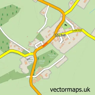
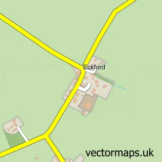
This Kelso street map is a detailed vector street map covering a 750m x 750m area. Select a larger area to create and download your own vector street map of Kelso.
The 750-metre map sample for Kelso covers 229 mapped buildings and approximately 16.3 km of road detail, of which 40 named roads are named. The immediate area includes 1 GP surgery within 2 miles, 5 pubs and 3 MOT stations within 2 miles. The wider area around Kelso features 5 tourism points of interest, 18 food and drink venues and 9 hotels. To create a larger or custom map of Kelso, the map builder lets you define your own coverage area and download editable SVG, PDF and PNG files.
Create a larger editable map of Kelso
Choose any area you need and generate a high-quality vector map instantly. Perfect for print, planning, design, business and personal use.

This Kelso street map in Roxburgh, Ettrick and Lauderdale is available as downloadable SVG, PDF and PNG map files, or as a printed map for planning, business, display, education, local information and design work. You can also create a larger custom map area using the map selector.
What this Kelso map sample shows
Kelso lies within Scottish Borders parish, part of Kelso And District ward in the Scottish Borders local authority area. The postcode geography for this area includes the TD postcode area, the TD5 postcode district and the TD5 7 postcode sector. Residents fall under the Borders for NHS services.
Local features near Kelso
Within 2 milesAmenities and services in and around Kelso.
Administrative and postcode information for Kelso
Kelso lies within Scottish Borders parish, part of Kelso And District ward in the Scottish Borders local authority area. The postcode geography for this area includes the TD postcode area, the TD5 postcode district and the TD5 7 postcode sector. Residents fall under the Borders for NHS services.
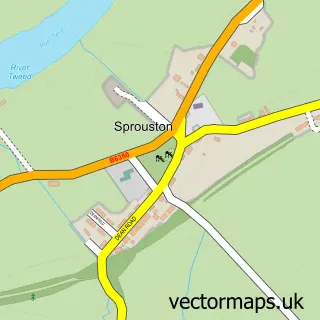
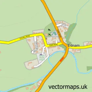
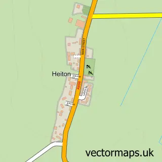
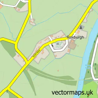
Nearby street map samples around Kelso

More street maps in Roxburgh, Ettrick and Lauderdale
750 metre map area coverage
Boundary, postcode and point of interest information for the 750m x 750m rectangle centred on this sample map.
Boundaries containing map centre
Constituency: Berwickshire, Roxburgh and Selkirk Co Const
District: Scottish Borders
Icb: Borders
Postcode District: TD5
Postcode Sector: TD5 7
Ward: Kelso and District Ward
Nearby boundaries intersecting sample
Postcode Sector: TD5 8
Postcode coverage
POI category counts
Flowers And Gifts Shop: 10
Hair Salon: 10
Hotel: 9
Bakery: 8
Beauty Salon: 8
Barber: 6
Clothing Store: 6
Restaurant: 6
Bed And Breakfast: 5
Cafe: 5
Sample points of interest
- Douglas Home and Co
- Promotif Limited
- Texthouse
- Border Union, Kelso
- Bridge Antiques
- C&C Antiques & Curiosities
- Honor Murray Interiors
- Kelso Tool Company
- James Stewart & Son Ltd
- Arthouse Scotland
- Th8 Gallery
- The Art House
Create a larger editable map of Kelso
This sample shows only a 750 metre area. To create a larger map of Kelso, use our map builder to choose your own coverage area, add titles and download editable SVG, PDF and PNG files.
Create a custom map of Kelso