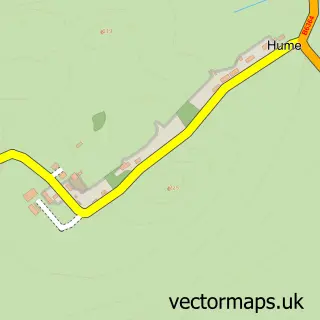
This Stichill street map is a detailed vector street map covering a 750m x 750m area. Select a larger area to create and download your own vector street map of Stichill.
The 750-metre map sample for Stichill covers 87 mapped buildings and approximately 11.2 km of road detail, of which 1 named road are named. The wider area around Stichill features 1 tourism point of interest. To create a larger or custom map of Stichill, the map builder lets you define your own coverage area and download editable SVG, PDF and PNG files.
Create a larger editable map of Stichill
Choose any area you need and generate a high-quality vector map instantly. Perfect for print, planning, design, business and personal use.

This Stichill street map in Roxburgh, Ettrick and Lauderdale is available as downloadable SVG, PDF and PNG map files, or as a printed map for planning, business, display, education, local information and design work. You can also create a larger custom map area using the map selector.
What this Stichill map sample shows
Stichill lies within Scottish Borders parish, part of Kelso And District ward in the Scottish Borders local authority area. The postcode geography for this area includes the TD postcode area, the TD5 postcode district and the TD5 7 postcode sector. Residents fall under the Borders for NHS services.
Local features near Stichill
Within 2 milesAmenities and services in and around Stichill.
Administrative and postcode information for Stichill
The local authority covering Stichill is Scottish Borders, within the county of Roxburgh, Ettrick And Lauderdale. The settlement lies within Kelso And District ward and Scottish Borders civil parish. The TD5 postcode district and TD5 7 postcode sector serve the immediate area. NHS provision in the area is delivered through Borders.
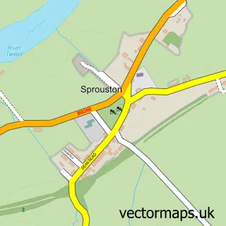
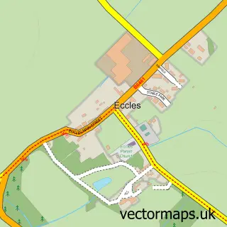
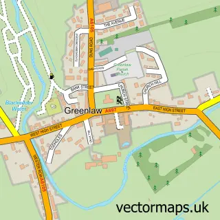
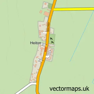
Nearby street map samples around Stichill


More street maps in Roxburgh, Ettrick and Lauderdale
750 metre map area coverage
Boundary, postcode and point of interest information for the 750m x 750m rectangle centred on this sample map.
Boundaries containing map centre
Constituency: Berwickshire, Roxburgh and Selkirk Co Const
District: Scottish Borders
Icb: Borders
Postcode District: TD5
Postcode Sector: TD5 7
Ward: Kelso and District Ward
Nearby boundaries intersecting sample
No additional intersecting boundaries found.
Postcode coverage
POI category counts
Automotive Repair: 2
Engineering Services: 2
Catholic Church: 1
Holiday Rental Home: 1
Hunting And Fishing Supplies: 1
Landmark And Historical Building: 1
Naturopathic Holistic: 1
Nursery And Gardening: 1
Sample points of interest
- A & W Black Motors
- Blacks of Stichill
- Stichill Church
- Black Engineering
- Blacks Of Stichill
- Cairns House
- FishIreland
- Stichill
- Sophie Douglas Hypnotherapy
- Stichill Forest Nursery
Create a larger editable map of Stichill
This sample shows only a 750 metre area. To create a larger map of Stichill, use our map builder to choose your own coverage area, add titles and download editable SVG, PDF and PNG files.
Create a custom map of Stichill