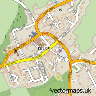
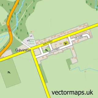
This Greenlaw street map is a detailed vector street map covering a 750m x 750m area. Select a larger area to create and download your own vector street map of Greenlaw.
The 750-metre map sample for Greenlaw covers 189 mapped buildings and approximately 11.9 km of road detail, of which 16 named roads are named. The immediate area includes 1 GP surgery, 2 pubs and 1 MOT station. The wider area around Greenlaw features 1 tourism point of interest, 3 food and drink venues and 1 hotel. To create a larger or custom map of Greenlaw, the map builder lets you define your own coverage area and download editable SVG, PDF and PNG files.
Create a larger editable map of Greenlaw
Choose any area you need and generate a high-quality vector map instantly. Perfect for print, planning, design, business and personal use.

This Greenlaw street map in Berwickshire is available as downloadable SVG, PDF and PNG map files, or as a printed map for planning, business, display, education, local information and design work. You can also create a larger custom map area using the map selector.
What this Greenlaw map sample shows
Greenlaw lies within Scottish Borders parish, part of Mid Berwickshire ward in the Scottish Borders local authority area. The postcode geography for this area includes the TD postcode area, the TD10 postcode district and the TD10 6 postcode sector. Residents fall under the Borders for NHS services.
Local features near Greenlaw
Within 2 milesAmenities and services in and around Greenlaw.
Administrative and postcode information for Greenlaw
The local authority covering Greenlaw is Scottish Borders, within the county of Berwickshire. The settlement lies within Mid Berwickshire ward and Scottish Borders civil parish. The TD10 postcode district and TD10 6 postcode sector serve the immediate area. NHS provision in the area is delivered through Borders.
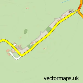
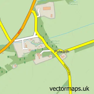
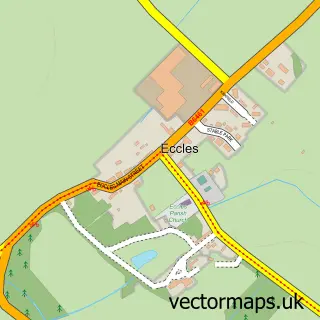
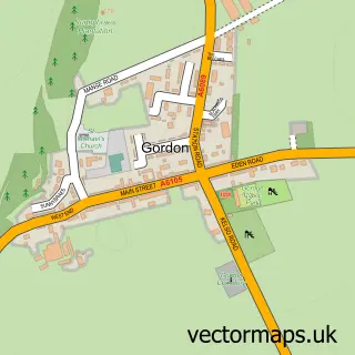
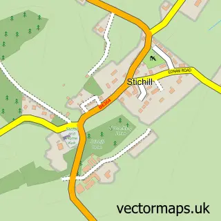
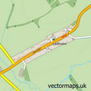
Nearby street map samples around Greenlaw

More street maps in Berwickshire
750 metre map area coverage
Boundary, postcode and point of interest information for the 750m x 750m rectangle centred on this sample map.
Boundaries containing map centre
Constituency: Berwickshire, Roxburgh and Selkirk Co Const
District: Scottish Borders
Icb: Borders
Postcode District: TD10
Postcode Sector: TD10 6
Ward: Mid Berwickshire Ward
Nearby boundaries intersecting sample
No additional intersecting boundaries found.
Postcode coverage
POI category counts
Contractor: 3
Convenience Store: 2
Elementary School: 2
Pub: 2
Sports Club And League: 2
Arts And Crafts: 1
Assisted Living Facility: 1
Bank Credit Union: 1
Building Supply Store: 1
Cafe: 1
Sample points of interest
- Border Embroideries
- Bield Housing Association
- RBS
- B & K Hume Groundworks
- Rocks & Roses Tea Room
- Blackadder Holiday Park
- Greenlaw Parish Church
- BE Uniforms HQ
- B&K Hume Groundworks LTD
- G & J Waddell
- Sandy McLean & Co
- Blackaddar Mini Market and Deli
Create a larger editable map of Greenlaw
This sample shows only a 750 metre area. To create a larger map of Greenlaw, use our map builder to choose your own coverage area, add titles and download editable SVG, PDF and PNG files.
Create a custom map of Greenlaw