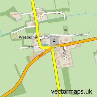
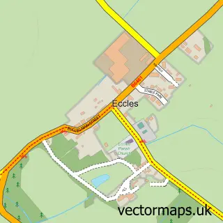
This Gordon street map is a detailed vector street map covering a 750m x 750m area. Select a larger area to create and download your own vector street map of Gordon.
The 750-metre map sample for Gordon covers 143 mapped buildings and approximately 7.8 km of road detail, of which 11 named roads are named. The immediate area includes 1 pub. The wider area around Gordon features 1 food and drink venue. To create a larger or custom map of Gordon, the map builder lets you define your own coverage area and download editable SVG, PDF and PNG files.
Create a larger editable map of Gordon
Choose any area you need and generate a high-quality vector map instantly. Perfect for print, planning, design, business and personal use.

This Gordon street map in Berwickshire is available as downloadable SVG, PDF and PNG map files, or as a printed map for planning, business, display, education, local information and design work. You can also create a larger custom map area using the map selector.
What this Gordon map sample shows
Gordon lies within Scottish Borders parish, part of Mid Berwickshire ward in the Scottish Borders local authority area. The postcode geography for this area includes the TD postcode area, the TD3 postcode district and the TD3 6 postcode sector. Residents fall under the Borders for NHS services.
Local features near Gordon
Within 2 milesAmenities and services in and around Gordon.
Administrative and postcode information for Gordon
Gordon lies within Scottish Borders parish, part of Mid Berwickshire ward in the Scottish Borders local authority area. The postcode geography for this area includes the TD postcode area, the TD3 postcode district and the TD3 6 postcode sector. Residents fall under the Borders for NHS services.
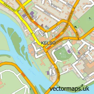
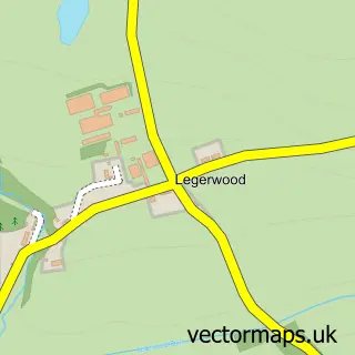
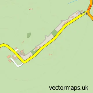
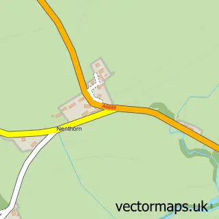
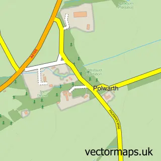
Nearby street map samples around Gordon


More street maps in Berwickshire
750 metre map area coverage
Boundary, postcode and point of interest information for the 750m x 750m rectangle centred on this sample map.
Boundaries containing map centre
Constituency: Berwickshire, Roxburgh and Selkirk Co Const
District: Scottish Borders
Icb: Borders
Postcode District: TD3
Postcode Sector: TD3 6
Ward: Mid Berwickshire Ward
Nearby boundaries intersecting sample
No additional intersecting boundaries found.
Postcode coverage
POI category counts
Elementary School: 2
Korean Grocery Store: 2
Audiovisual Equipment Rental: 1
Bed And Breakfast: 1
Business Management Services: 1
Catholic Church: 1
Church Cathedral: 1
Community Services Non Profits: 1
Pub: 1
Sports Club And League: 1
Sample points of interest
- GGS Generator Hire
- Jane's Place
- Exclusively Scottish
- St Michael's Kirk
- Gordon Parish Church
- Gordon Community Woodland Trust
- Gordon Primary School
- Gordon Primary School
- Gordon Little Shop
- Post Office
- The Gordon Arms
- Gordon Bowling Club
Create a larger editable map of Gordon
This sample shows only a 750 metre area. To create a larger map of Gordon, use our map builder to choose your own coverage area, add titles and download editable SVG, PDF and PNG files.
Create a custom map of Gordon