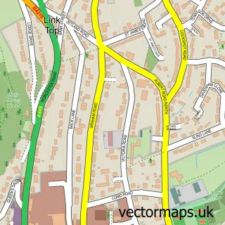
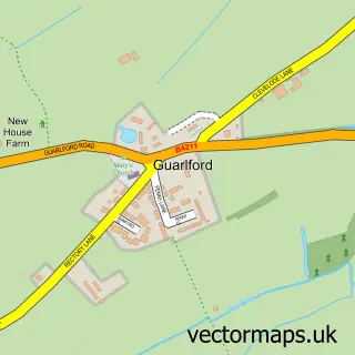
This Kempsey street map is a detailed vector street map covering a 750m x 750m area. Select a larger area to create and download your own vector street map of Kempsey.
The 750-metre map sample for Kempsey covers 451 mapped buildings and approximately 37.2 km of road detail, of which 25 named roads are named. The immediate area includes 1 school, 4 pubs and 1 MOT station, with 4 within 2 miles. The wider area around Kempsey features 4 food and drink venues and 1 hotel. To create a larger or custom map of Kempsey, the map builder lets you define your own coverage area and download editable SVG, PDF and PNG files.
Create a larger editable map of Kempsey
Choose any area you need and generate a high-quality vector map instantly. Perfect for print, planning, design, business and personal use.

This Kempsey street map in Worcestershire is available as downloadable SVG, PDF and PNG map files, or as a printed map for planning, business, display, education, local information and design work. You can also create a larger custom map area using the map selector.
What this Kempsey map sample shows
Kempsey lies within Kempsey Cp parish, part of Kempsey ward in the Malvern Hills District local authority area. The postcode geography for this area includes the WR postcode area, the WR5 postcode district and the WR5 3 postcode sector. Residents fall under the Nhs Herefordshire And Worcestershire Integrated Care Board for NHS services.
Local features near Kempsey
Within 2 milesAmenities and services in and around Kempsey.
Administrative and postcode information for Kempsey
The local authority covering Kempsey is Malvern Hills District, within the county of Worcestershire. The settlement lies within Kempsey ward and Kempsey Cp civil parish. The WR5 postcode district and WR5 3 postcode sector serve the immediate area. NHS provision in the area is delivered through Worcestershire Acute Hospitals Nhs Trust.
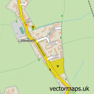
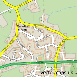
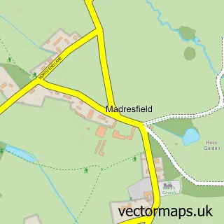
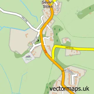
Nearby street map samples around Kempsey

More street maps in Worcestershire
750 metre map area coverage
Boundary, postcode and point of interest information for the 750m x 750m rectangle centred on this sample map.
Boundaries containing map centre
Constituency: West Worcestershire Co Const
County: Worcestershire County
District: Malvern Hills District
Icb: NHS Herefordshire and Worcestershire ICB
Parish: Kempsey CP
Police Force: west mercia
Postcode District: WR5
Postcode Sector: WR5 3
Ward: Kempsey Ward
Nearby boundaries intersecting sample
No additional intersecting boundaries found.
Postcode coverage
POI category counts
Pub: 4
Professional Services: 3
Convenience Store: 2
Dog Trainer: 2
Education: 2
Shipping Center: 2
Web Designer: 2
Accountant: 1
Anglican Church: 1
Animal Rescue Service: 1
Sample points of interest
- Aldon Accounting Services
- St Mary's Kempsey
- Amicii Dog Rescue
- Jeynes Cleans Auto Detailing
- Tweak Facial Enhancements
- Thesecretbnb
- Interiors by Hannah
- The Old Smithy Recording Studios Ltd.
- Sutton Lomas
- St Mary's Church
- Sea Breeze Cleaning
- McColl's
Create a larger editable map of Kempsey
This sample shows only a 750 metre area. To create a larger map of Kempsey, use our map builder to choose your own coverage area, add titles and download editable SVG, PDF and PNG files.
Create a custom map of Kempsey