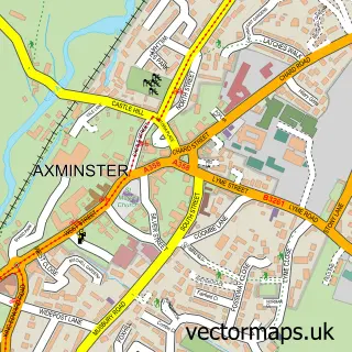
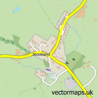
This Kilmington street map is a detailed vector street map covering a 750m x 750m area. Select a larger area to create and download your own vector street map of Kilmington.
The 750-metre map sample for Kilmington covers 270 mapped buildings and approximately 15.5 km of road detail, of which 22 named roads are named. The immediate area includes 1 school, 1 GP surgery within 2 miles, 3 pubs and 4 MOT stations within 2 miles. The wider area around Kilmington features 1 tourism point of interest, 3 food and drink venues and 1 hotel. To create a larger or custom map of Kilmington, the map builder lets you define your own coverage area and download editable SVG, PDF and PNG files.
Create a larger editable map of Kilmington
Choose any area you need and generate a high-quality vector map instantly. Perfect for print, planning, design, business and personal use.

This Kilmington street map in Devon is available as downloadable SVG, PDF and PNG map files, or as a printed map for planning, business, display, education, local information and design work. You can also create a larger custom map area using the map selector.
What this Kilmington map sample shows
Kilmington lies within Kilmington Cp parish, part of Newbridges ward in the East Devon District local authority area. The postcode geography for this area includes the EX postcode area, the EX13 postcode district and the EX13 7 postcode sector. Residents fall under the Nhs Devon Integrated Care Board for NHS services.
Local features near Kilmington
Within 2 milesAmenities and services in and around Kilmington.
Administrative and postcode information for Kilmington
The local authority covering Kilmington is East Devon District, within the county of Devon. The settlement lies within Newbridges ward and Kilmington Cp civil parish. The EX13 postcode district and EX13 7 postcode sector serve the immediate area. NHS provision in the area is delivered through Royal Devon University Healthcare Nhs Foundation Trust.
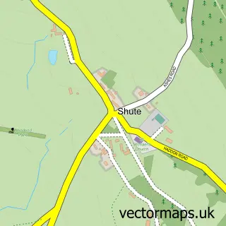
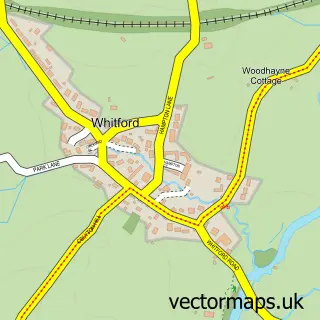
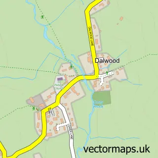
Nearby street map samples around Kilmington

More street maps in Devon
750 metre map area coverage
Boundary, postcode and point of interest information for the 750m x 750m rectangle centred on this sample map.
Boundaries containing map centre
Constituency: Honiton and Sidmouth Co Const
County: Devon County
District: East Devon District
Icb: NHS Devon ICB
Parish: Kilmington CP
Police Force: devon and cornwall
Postcode District: EX13
Postcode Sector: EX13 7
Ward: Newbridges Ward
Nearby boundaries intersecting sample
No additional intersecting boundaries found.
Postcode coverage
POI category counts
Post Office: 3
Pub: 3
Advertising Agency: 1
Anglican Church: 1
Baptist Church: 1
Bar: 1
Business Consulting: 1
Church Cathedral: 1
Cottage: 1
Dog Walkers: 1
Sample points of interest
- The Prospecting Wizard
- St. Giles Church, Kilmington
- The Baptist Church
- The Old Inn
- Glenholme Consulting
- St Giles Church
- Valley Farm Holiday Cottages
- Woofs n Wags
- Subway
- Sara's Bees
- Cherry Tree Lodge
- Khushi Kitchen - Axminster Devon & Dorset
Create a larger editable map of Kilmington
This sample shows only a 750 metre area. To create a larger map of Kilmington, use our map builder to choose your own coverage area, add titles and download editable SVG, PDF and PNG files.
Create a custom map of Kilmington