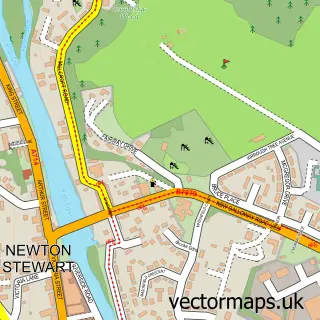
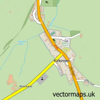
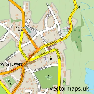
This Kirkcowan street map is a detailed vector street map covering a 750m x 750m area. Select a larger area to create and download your own vector street map of Kirkcowan.
The 750-metre map sample for Kirkcowan covers 166 mapped buildings and approximately 11.4 km of road detail, of which 10 named roads are named. The immediate area includes 1 pub. The wider area around Kirkcowan features 1 food and drink venue. To create a larger or custom map of Kirkcowan, the map builder lets you define your own coverage area and download editable SVG, PDF and PNG files.
Create a larger editable map of Kirkcowan
Choose any area you need and generate a high-quality vector map instantly. Perfect for print, planning, design, business and personal use.

This Kirkcowan street map in Wigtown is available as downloadable SVG, PDF and PNG map files, or as a printed map for planning, business, display, education, local information and design work. You can also create a larger custom map area using the map selector.
What this Kirkcowan map sample shows
Kirkcowan lies within Dumfries And Galloway parish, part of Mid Galloway And Wigtown West ward in the Dumfries And Galloway local authority area. The postcode geography for this area includes the DG postcode area, the DG8 postcode district and the DG8 0 postcode sector. Residents fall under the Dumfries And Galloway for NHS services.
Local features near Kirkcowan
Within 2 milesAmenities and services in and around Kirkcowan.
Administrative and postcode information for Kirkcowan
The local authority covering Kirkcowan is Dumfries And Galloway, within the county of Wigtown. The settlement lies within Mid Galloway And Wigtown West ward and Dumfries And Galloway civil parish. The DG8 postcode district and DG8 0 postcode sector serve the immediate area. NHS provision in the area is delivered through Dumfries And Galloway.
Nearby street map samples around Kirkcowan


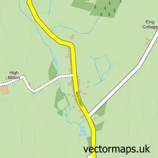
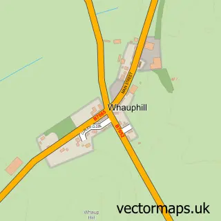
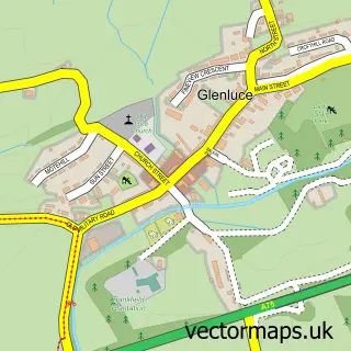
More street maps in Wigtown
750 metre map area coverage
Boundary, postcode and point of interest information for the 750m x 750m rectangle centred on this sample map.
Boundaries containing map centre
Constituency: Dumfries and Galloway Co Const
District: Dumfries and Galloway
Icb: Dumfries and Galloway
Postcode District: DG8
Postcode Sector: DG8 0
Ward: Mid Galloway and Wigtown West Ward
Nearby boundaries intersecting sample
No additional intersecting boundaries found.
Postcode coverage
POI category counts
Convenience Store: 2
Active Life: 1
Auto Detailing: 1
Bar: 1
Church Cathedral: 1
Community Center: 1
Community Services Non Profits: 1
Currency Exchange: 1
Doctor: 1
Medical Supply: 1
Sample points of interest
- Kirkcowan Carpet Bowling Club
- Wilson Detailing
- Kirkcowan Bowling Green
- Kirkcowan Parish Church
- Kirkcowan Hall
- Kirkcowan Bowling Club
- KeyStore
- Post Office-Kirkcowan
- Post Office Travel Money
- Galloway Hills Medical Group (Kirkcowan Surgery)
- Microlabs Ltd
- Faith Mission Centre Newton Stewart
Create a larger editable map of Kirkcowan
This sample shows only a 750 metre area. To create a larger map of Kirkcowan, use our map builder to choose your own coverage area, add titles and download editable SVG, PDF and PNG files.
Create a custom map of Kirkcowan