This Knayton street map is a detailed vector street map covering a 750m x 750m area. Select a larger area to create and download your own vector street map of Knayton.
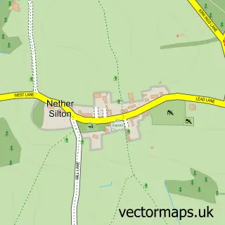
The 750-metre map sample for Knayton covers 122 mapped buildings and approximately 12.8 km of road detail, of which 5 named roads are named. The immediate area includes 1 school and 1 pub. The wider area around Knayton features 1 tourism point of interest, 2 food and drink venues and 1 campsite within 2 miles. To create a larger or custom map of Knayton, the map builder lets you define your own coverage area and download editable SVG, PDF and PNG files.
Create a larger editable map of Knayton
Choose any area you need and generate a high-quality vector map instantly. Perfect for print, planning, design, business and personal use.

This Knayton street map in North Yorkshire is available as downloadable SVG, PDF and PNG map files, or as a printed map for planning, business, display, education, local information and design work. You can also create a larger custom map area using the map selector.
What this Knayton map sample shows
Knayton lies within Knayton With Brawith Cp parish, part of Bagby & Thorntons ward in the North Yorkshire local authority area. The postcode geography for this area includes the YO postcode area, the YO7 postcode district and the YO7 4 postcode sector. Residents fall under the Nhs Humber And North Yorkshire Integrated Care Board for NHS services.
Local features near Knayton
Within 2 milesAmenities and services in and around Knayton.
Administrative and postcode information for Knayton
Knayton lies within Knayton With Brawith Cp parish, part of Bagby & Thorntons ward in the North Yorkshire local authority area. The postcode geography for this area includes the YO postcode area, the YO7 postcode district and the YO7 4 postcode sector. Residents fall under the Nhs Humber And North Yorkshire Integrated Care Board for NHS services.
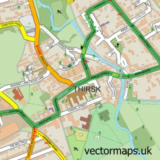
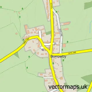
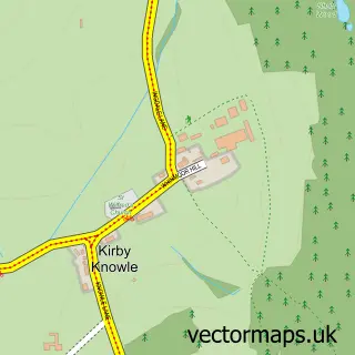
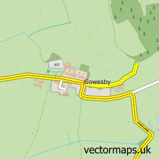
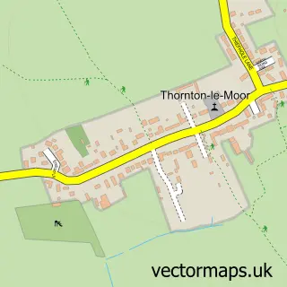
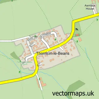
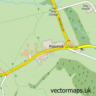
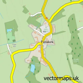
Nearby street map samples around Knayton

More street maps in North Yorkshire
750 metre map area coverage
Boundary, postcode and point of interest information for the 750m x 750m rectangle centred on this sample map.
Boundaries containing map centre
Constituency: Thirsk and Malton Co Const
District: North Yorkshire
Icb: NHS Humber and North Yorkshire ICB
Parish: Knayton with Brawith CP
Police Force: north yorkshire
Postcode District: YO7
Postcode Sector: YO7 4
Nearby boundaries intersecting sample
No additional intersecting boundaries found.
Postcode coverage
POI category counts
Assisted Living Facility: 1
Cafe: 1
Driving School: 1
Elementary School: 1
Fence And Gate Sales Service: 1
Furniture Assembly: 1
Park: 1
Preschool: 1
Pub: 1
Stadium Arena: 1
Sample points of interest
- Northfield House
- Shed 30 Cafe
- JoJos Driving Solutions
- Knayton Church of England Primary School
- Beckfield Fencing
- Paul Parker Upholstery
- Knayton
- Borrowby Nursery School
- Dog and Gun Knayton
- Leake Tennis Club, Knayton
Create a larger editable map of Knayton
This sample shows only a 750 metre area. To create a larger map of Knayton, use our map builder to choose your own coverage area, add titles and download editable SVG, PDF and PNG files.
Create a custom map of Knayton