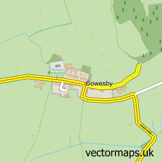
This Felixkirk street map is a detailed vector street map covering a 750m x 750m area. Select a larger area to create and download your own vector street map of Felixkirk.
The 750-metre map sample for Felixkirk covers 52 mapped buildings and approximately 8.6 km of road detail, of which 2 named roads are named. The immediate area includes 1 pub. The wider area around Felixkirk features 2 tourism points of interest, 1 food and drink venue and 1 hotel. To create a larger or custom map of Felixkirk, the map builder lets you define your own coverage area and download editable SVG, PDF and PNG files.
Create a larger editable map of Felixkirk
Choose any area you need and generate a high-quality vector map instantly. Perfect for print, planning, design, business and personal use.

This Felixkirk street map in North Yorkshire is available as downloadable SVG, PDF and PNG map files, or as a printed map for planning, business, display, education, local information and design work. You can also create a larger custom map area using the map selector.
What this Felixkirk map sample shows
Felixkirk lies within Felixkirk Cp parish, part of Bagby & Thorntons ward in the North Yorkshire local authority area. The postcode geography for this area includes the YO postcode area, the YO7 postcode district and the YO7 2 postcode sector. Residents fall under the Nhs Humber And North Yorkshire Integrated Care Board for NHS services.
Local features near Felixkirk
Within 2 milesAmenities and services in and around Felixkirk.
Administrative and postcode information for Felixkirk
The local authority covering Felixkirk is North Yorkshire, within the county of North Yorkshire. The settlement lies within Bagby & Thorntons ward and Felixkirk Cp civil parish. The YO7 postcode district and YO7 2 postcode sector serve the immediate area. NHS provision in the area is delivered through South Tees Hospitals Nhs Foundation Trust.
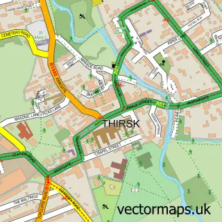
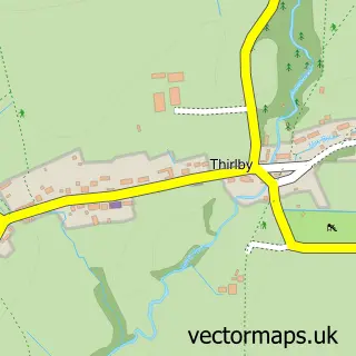
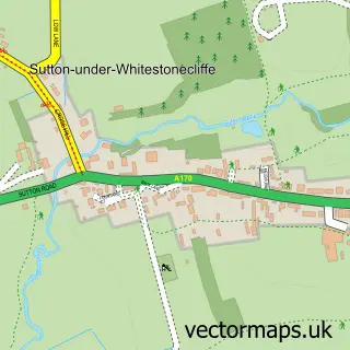
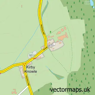
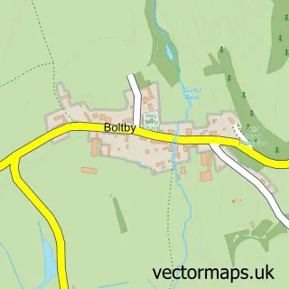
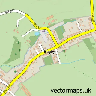
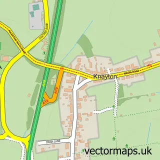
Nearby street map samples around Felixkirk

More street maps in North Yorkshire
750 metre map area coverage
Boundary, postcode and point of interest information for the 750m x 750m rectangle centred on this sample map.
Boundaries containing map centre
Constituency: Thirsk and Malton Co Const
District: North Yorkshire
Icb: NHS Humber and North Yorkshire ICB
Parish: Felixkirk CP
Police Force: north yorkshire
Postcode District: YO7
Postcode Sector: YO7 2
Nearby boundaries intersecting sample
No additional intersecting boundaries found.
Postcode coverage
POI category counts
Attractions And Activities: 1
Bed And Breakfast: 1
Bridal Shop: 1
Castle: 1
Church Cathedral: 1
Holiday Rental Home: 1
Hotel: 1
Kids Recreation And Party: 1
Pub: 1
Sports And Recreation Venue: 1
Sample points of interest
- Yorkshire Outdoors
- Carpenters Arms
- Elise Flowers
- Howe Hill
- St Felix Church
- Bellwood House Annex Holiday Cottage
- Foxhills Hideaways
- Yorkshire Outdoors
- The Carpenters Arms
- North Yorkshire Shooting School
Create a larger editable map of Felixkirk
This sample shows only a 750 metre area. To create a larger map of Felixkirk, use our map builder to choose your own coverage area, add titles and download editable SVG, PDF and PNG files.
Create a custom map of Felixkirk