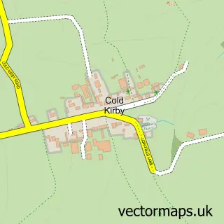
This Sutton-under-Whitestonecliffe street map is a detailed vector street map covering a 750m x 750m area. Select a larger area to create and download your own vector street map of Sutton-under-Whitestonecliffe.
The 750-metre map sample for Sutton-under-Whitestonecliffe covers 118 mapped buildings and approximately 9.1 km of road detail, of which 6 named roads are named. The wider area around Sutton-under-Whitestonecliffe features 1 hotel. To create a larger or custom map of Sutton-under-Whitestonecliffe, the map builder lets you define your own coverage area and download editable SVG, PDF and PNG files.
Create a larger editable map of Sutton-under-Whitestonecliffe
Choose any area you need and generate a high-quality vector map instantly. Perfect for print, planning, design, business and personal use.

This Sutton-under-Whitestonecliffe street map in North Yorkshire is available as downloadable SVG, PDF and PNG map files, or as a printed map for planning, business, display, education, local information and design work. You can also create a larger custom map area using the map selector.
What this Sutton-under-Whitestonecliffe map sample shows
Sutton-under-Whitestonecliffe lies within Sutton-Under-Whitestonecliffe Cp parish, part of Bagby & Thorntons ward in the North Yorkshire local authority area. The postcode geography for this area includes the YO postcode area, the YO7 postcode district and the YO7 2 postcode sector. Residents fall under the Nhs Humber And North Yorkshire Integrated Care Board for NHS services.
Local features near Sutton-under-Whitestonecliffe
Within 2 milesAmenities and services in and around Sutton-under-Whitestonecliffe.
Administrative and postcode information for Sutton-under-Whitestonecliffe
The local authority covering Sutton-under-Whitestonecliffe is North Yorkshire, within the county of North Yorkshire. The settlement lies within Bagby & Thorntons ward and Sutton-Under-Whitestonecliffe Cp civil parish. The YO7 postcode district and YO7 2 postcode sector serve the immediate area. NHS provision in the area is delivered through South Tees Hospitals Nhs Foundation Trust.
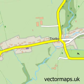
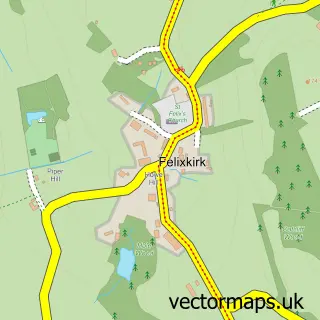
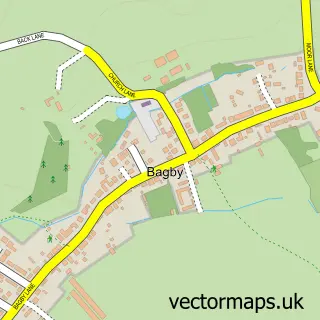
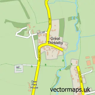
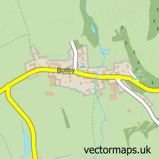
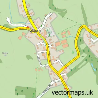
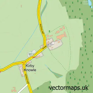
Nearby street map samples around Sutton-under-Whitestonecliffe

More street maps in North Yorkshire
750 metre map area coverage
Boundary, postcode and point of interest information for the 750m x 750m rectangle centred on this sample map.
Boundaries containing map centre
Constituency: Thirsk and Malton Co Const
District: North Yorkshire
Icb: NHS Humber and North Yorkshire ICB
Parish: Sutton-under-Whitestonecliffe CP
Police Force: north yorkshire
Postcode District: YO7
Postcode Sector: YO7 2
Nearby boundaries intersecting sample
Parish: Balk CP
Postcode coverage
POI category counts
Community Center: 1
Construction Services: 1
Furniture Store: 1
Holiday Rental Home: 1
Hotel: 1
Shooting Range: 1
Used Car Dealer: 1
Used Vintage And Consignment: 1
Sample points of interest
- Sutton-under-Whitestonecliffe Village Hall
- Garry Robson Property Services
- Beaver Furniture
- Sutton Hall Resort
- Wigwam Holidays Water Hall Farm
- Sutton And Thirlby Gun Club
- Twisted Performance
- Beaver Furniture
Create a larger editable map of Sutton-under-Whitestonecliffe
This sample shows only a 750 metre area. To create a larger map of Sutton-under-Whitestonecliffe, use our map builder to choose your own coverage area, add titles and download editable SVG, PDF and PNG files.
Create a custom map of Sutton-under-Whitestonecliffe