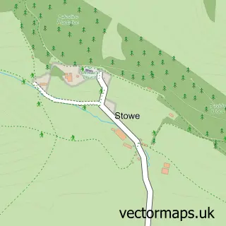
This Knighton street map is a detailed vector street map covering a 750m x 750m area. Select a larger area to create and download your own vector street map of Knighton.
The 750-metre map sample for Knighton covers 348 mapped buildings and approximately 53.9 km of road detail, of which 38 named roads are named. The immediate area includes 5 pubs and 1 MOT station within 2 miles. The wider area around Knighton features 2 tourism points of interest, 9 food and drink venues and 3 hotels. To create a larger or custom map of Knighton, the map builder lets you define your own coverage area and download editable SVG, PDF and PNG files.
Create a larger editable map of Knighton
Choose any area you need and generate a high-quality vector map instantly. Perfect for print, planning, design, business and personal use.

This Knighton street map in Powys is available as downloadable SVG, PDF and PNG map files, or as a printed map for planning, business, display, education, local information and design work. You can also create a larger custom map area using the map selector.
What this Knighton map sample shows
Knighton lies within Knighton Community parish, part of Knighton ward in the Powys - Powys local authority area. The postcode geography for this area includes the LD postcode area, the LD7 postcode district and the LD7 1 postcode sector. Residents fall under the Powys Teaching Health Board for NHS services.
Local features near Knighton
Within 2 milesAmenities and services in and around Knighton.
Administrative and postcode information for Knighton
Knighton lies within Knighton Community parish, part of Knighton ward in the Powys - Powys local authority area. The postcode geography for this area includes the LD postcode area, the LD7 postcode district and the LD7 1 postcode sector. Residents fall under the Powys Teaching Health Board for NHS services.
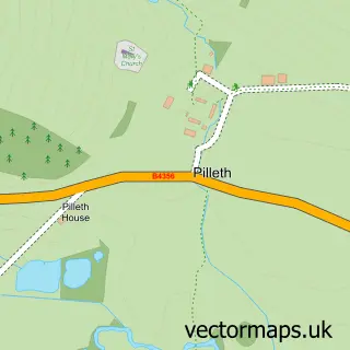
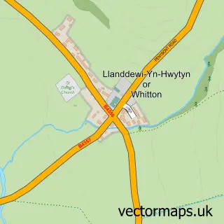
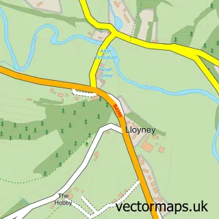
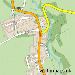
Nearby street map samples around Knighton


More street maps in Powys
750 metre map area coverage
Boundary, postcode and point of interest information for the 750m x 750m rectangle centred on this sample map.
Boundaries containing map centre
Constituency: Brecon, Radnor and Cwm Tawe Co Const
District: Powys - Powys
Icb: Powys Teaching
Parish: Knighton Community
Police Force: dyfed-powys
Postcode District: LD7
Postcode Sector: LD7 1
Nearby boundaries intersecting sample
Constituency: South Shropshire Co Const
District: Shropshire
Icb: NHS Shropshire Telford and Wrekin ICB
Parish: Stowe CP
Police Force: west mercia
Postcode coverage
POI category counts
Pub: 5
Beauty Salon: 3
Carpenter: 3
Convenience Store: 3
Freight And Cargo Service: 3
Hotel: 3
Post Office: 3
Retail: 3
Tire Dealer And Repair: 3
Antique Store: 2
Sample points of interest
- Cosy Cottage
- British Red Cross
- Knighton Antiques & Collectibles
- Knighton Fine Art
- Tower House Gallery
- The Comm Garden
- McCartneys
- knighton classics
- Knighton Motors
- West Pennine Trucks
- HSBC Bank
- George And Dragon
Create a larger editable map of Knighton
This sample shows only a 750 metre area. To create a larger map of Knighton, use our map builder to choose your own coverage area, add titles and download editable SVG, PDF and PNG files.
Create a custom map of Knighton