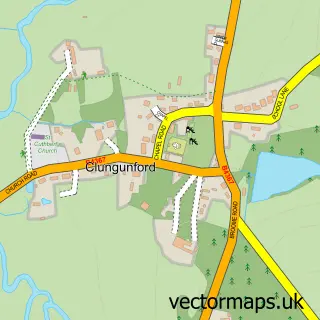
This Bucknell street map is a detailed vector street map covering a 750m x 750m area. Select a larger area to create and download your own vector street map of Bucknell.
The 750-metre map sample for Bucknell covers 163 mapped buildings and approximately 22.9 km of road detail, of which 3 named roads are named. The immediate area includes 1 school and 1 MOT station within 2 miles. The wider area around Bucknell features 1 tourism point of interest and 1 hotel. To create a larger or custom map of Bucknell, the map builder lets you define your own coverage area and download editable SVG, PDF and PNG files.
Create a larger editable map of Bucknell
Choose any area you need and generate a high-quality vector map instantly. Perfect for print, planning, design, business and personal use.

This Bucknell street map in Shropshire is available as downloadable SVG, PDF and PNG map files, or as a printed map for planning, business, display, education, local information and design work. You can also create a larger custom map area using the map selector.
What this Bucknell map sample shows
Bucknell lies within Bucknell Cp parish, part of Clun ward in the Shropshire local authority area. The postcode geography for this area includes the SY postcode area, the SY7 postcode district and the SY7 0 postcode sector. Residents fall under the Nhs Shropshire, Telford And Wrekin Integrated Care Board for NHS services.
Local features near Bucknell
Within 2 milesAmenities and services in and around Bucknell.
Administrative and postcode information for Bucknell
Bucknell lies within Bucknell Cp parish, part of Clun ward in the Shropshire local authority area. The postcode geography for this area includes the SY postcode area, the SY7 postcode district and the SY7 0 postcode sector. Residents fall under the Nhs Shropshire, Telford And Wrekin Integrated Care Board for NHS services.
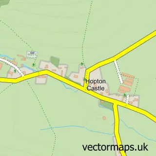
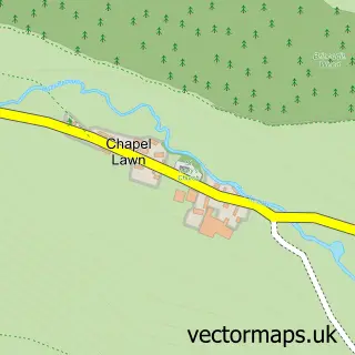
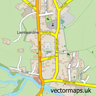
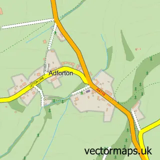
Nearby street map samples around Bucknell

More street maps in Shropshire
750 metre map area coverage
Boundary, postcode and point of interest information for the 750m x 750m rectangle centred on this sample map.
Boundaries containing map centre
Constituency: South Shropshire Co Const
District: Shropshire
Icb: NHS Shropshire Telford and Wrekin ICB
Parish: Bucknell CP
Police Force: west mercia
Postcode District: SY7
Postcode Sector: SY7 0
Nearby boundaries intersecting sample
No additional intersecting boundaries found.
Postcode coverage
POI category counts
Train Station: 2
Acupuncture: 1
Anglican Church: 1
Architect: 1
Charity Organization: 1
Church Cathedral: 1
Elementary School: 1
Hair Salon: 1
Hotel: 1
Industrial Company: 1
Sample points of interest
- Hazel Grove Health
- Bucknell: St Mary
- Spacescape Architects & Landscape Architects
- Bucknell Memorial Hall
- St Mary's Church
- St Mary's CofE Primary School
- Forge Hair
- The Baron At Bucknell
- Hornsey Steel Panels and Sections Ltd
- Bucknell Play Park
- Bucknell Post Office
- Safe Ventures Limited
Create a larger editable map of Bucknell
This sample shows only a 750 metre area. To create a larger map of Bucknell, use our map builder to choose your own coverage area, add titles and download editable SVG, PDF and PNG files.
Create a custom map of Bucknell