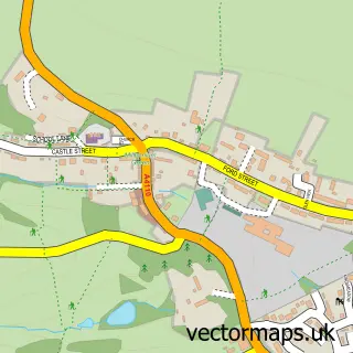
This Leintwardine street map is a detailed vector street map covering a 750m x 750m area. Select a larger area to create and download your own vector street map of Leintwardine.
The 750-metre map sample for Leintwardine covers 233 mapped buildings and approximately 30.8 km of road detail, of which 13 named roads are named. The immediate area includes 1 school, 3 pubs and 1 MOT station. The wider area around Leintwardine features 6 food and drink venues. To create a larger or custom map of Leintwardine, the map builder lets you define your own coverage area and download editable SVG, PDF and PNG files.
Create a larger editable map of Leintwardine
Choose any area you need and generate a high-quality vector map instantly. Perfect for print, planning, design, business and personal use.

This Leintwardine street map in Herefordshire is available as downloadable SVG, PDF and PNG map files, or as a printed map for planning, business, display, education, local information and design work. You can also create a larger custom map area using the map selector.
What this Leintwardine map sample shows
Leintwardine lies within Leintwardine Cp parish, part of Mortimer ward in the County Of Herefordshire local authority area. The postcode geography for this area includes the SY postcode area, the SY7 postcode district and the SY7 0 postcode sector. Residents fall under the Nhs Herefordshire And Worcestershire Integrated Care Board for NHS services.
Local features near Leintwardine
Within 2 milesAmenities and services in and around Leintwardine.
Administrative and postcode information for Leintwardine
Leintwardine lies within Leintwardine Cp parish, part of Mortimer ward in the County Of Herefordshire local authority area. The postcode geography for this area includes the SY postcode area, the SY7 postcode district and the SY7 0 postcode sector. Residents fall under the Nhs Herefordshire And Worcestershire Integrated Care Board for NHS services.
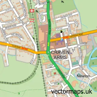
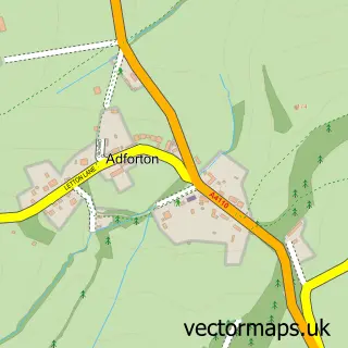
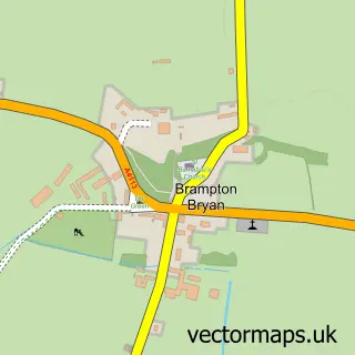
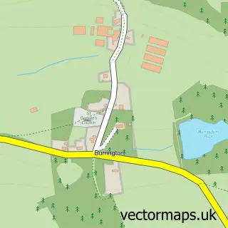
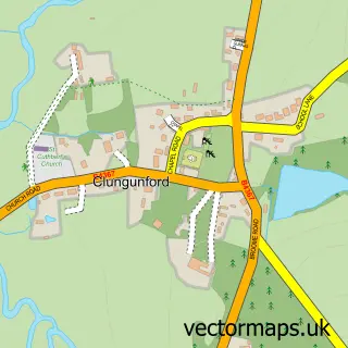
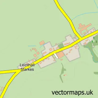
Nearby street map samples around Leintwardine


More street maps in Herefordshire
750 metre map area coverage
Boundary, postcode and point of interest information for the 750m x 750m rectangle centred on this sample map.
Boundaries containing map centre
Constituency: North Herefordshire Co Const
District: County of Herefordshire
Icb: NHS Herefordshire and Worcestershire ICB
Parish: Leintwardine CP
Police Force: west mercia
Postcode District: SY7
Postcode Sector: SY7 0
Ward: Mortimer Ward
Nearby boundaries intersecting sample
Parish: Buckton and Coxall CP
Postcode coverage
POI category counts
Pub: 3
Automotive Repair: 2
Elementary School: 2
Restaurant: 2
Anglican Church: 1
Bed And Breakfast: 1
Business Consulting: 1
Cards And Stationery Store: 1
Childrens Clothing Store: 1
Church Cathedral: 1
Sample points of interest
- Leintwardine: St Mary Magdalene
- Griffiths Garage
- W & C a Griffiths
- Walford Court
- Osg Group of Companies
- The Blank Card Company
- Tickle Tots
- St Mary Magdalene Church
- Wood’N’Ribbon Cakery
- SPAR - Griffiths Garage
- Leintwardine Endowed C of E Primary School
- The Fabulous Cob Oven Company
Create a larger editable map of Leintwardine
This sample shows only a 750 metre area. To create a larger map of Leintwardine, use our map builder to choose your own coverage area, add titles and download editable SVG, PDF and PNG files.
Create a custom map of Leintwardine