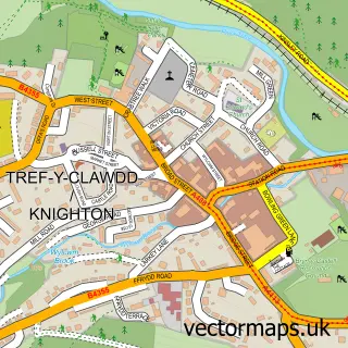
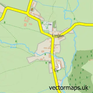
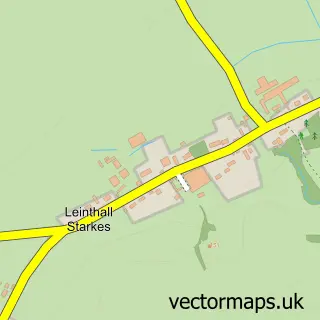
This Brampton Bryan street map is a detailed vector street map covering a 750m x 750m area. Select a larger area to create and download your own vector street map of Brampton Bryan.
The 750-metre map sample for Brampton Bryan covers 60 mapped buildings and approximately 36.5 km of road detail. The immediate area includes 1 MOT station within 2 miles. To create a larger or custom map of Brampton Bryan, the map builder lets you define your own coverage area and download editable SVG, PDF and PNG files.
Create a larger editable map of Brampton Bryan
Choose any area you need and generate a high-quality vector map instantly. Perfect for print, planning, design, business and personal use.

This Brampton Bryan street map in Herefordshire is available as downloadable SVG, PDF and PNG map files, or as a printed map for planning, business, display, education, local information and design work. You can also create a larger custom map area using the map selector.
What this Brampton Bryan map sample shows
Brampton Bryan lies within Brampton Bryan Cp parish, part of Mortimer ward in the County Of Herefordshire local authority area. The postcode geography for this area includes the SY postcode area, the SY7 postcode district and the SY7 0 postcode sector. Residents fall under the Nhs Herefordshire And Worcestershire Integrated Care Board for NHS services.
Local features near Brampton Bryan
Within 2 milesAmenities and services in and around Brampton Bryan.
Administrative and postcode information for Brampton Bryan
The local authority covering Brampton Bryan is County Of Herefordshire, within the county of Herefordshire. The settlement lies within Mortimer ward and Brampton Bryan Cp civil parish. The SY7 postcode district and SY7 0 postcode sector serve the immediate area. NHS provision in the area is delivered through Wye Valley Nhs Trust.
Nearby street map samples around Brampton Bryan


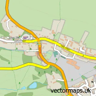
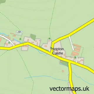
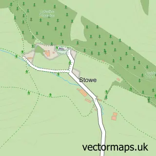
More street maps in Herefordshire
750 metre map area coverage
Boundary, postcode and point of interest information for the 750m x 750m rectangle centred on this sample map.
Boundaries containing map centre
Constituency: North Herefordshire Co Const
District: County of Herefordshire
Icb: NHS Herefordshire and Worcestershire ICB
Parish: Brampton Bryan CP
Police Force: west mercia
Postcode District: SY7
Postcode Sector: SY7 0
Ward: Mortimer Ward
Nearby boundaries intersecting sample
No additional intersecting boundaries found.
Postcode coverage
POI category counts
Bookstore: 2
Accommodation: 1
Anglican Church: 1
Art School: 1
Education: 1
Professional Services: 1
Property Management: 1
School: 1
Sample points of interest
- Walnut Tree Cottage
- Brampton Bryan St Barnabas
- Alice Draws The Line
- Aardvark Books
- Aardvark Books & Café
- Learning Technologies
- Suncare
- Harley Estate
- Jewellery Making Courses with Melissa Hunt
Create a larger editable map of Brampton Bryan
This sample shows only a 750 metre area. To create a larger map of Brampton Bryan, use our map builder to choose your own coverage area, add titles and download editable SVG, PDF and PNG files.
Create a custom map of Brampton Bryan