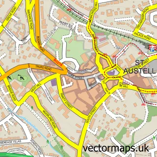
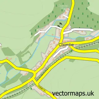
This Ladock street map is a detailed vector street map covering a 750m x 750m area. Select a larger area to create and download your own vector street map of Ladock.
The 750-metre map sample for Ladock covers 113 mapped buildings and approximately 12.5 km of road detail, of which 1 named road are named. The immediate area includes 1 school and 3 pubs. The wider area around Ladock features 3 food and drink venues and 1 hotel. To create a larger or custom map of Ladock, the map builder lets you define your own coverage area and download editable SVG, PDF and PNG files.
Create a larger editable map of Ladock
Choose any area you need and generate a high-quality vector map instantly. Perfect for print, planning, design, business and personal use.

This Ladock street map in Cornwall is available as downloadable SVG, PDF and PNG map files, or as a printed map for planning, business, display, education, local information and design work. You can also create a larger custom map area using the map selector.
What this Ladock map sample shows
Ladock lies within Ladock Cp parish, part of Ladock, St Clement And St Erme ward in the Cornwall local authority area. The postcode geography for this area includes the TR postcode area, the TR2 postcode district and the TR2 4 postcode sector. Residents fall under the Nhs Cornwall And The Isles Of Scilly Integrated Care Board for NHS services.
Local features near Ladock
Within 2 milesAmenities and services in and around Ladock.
Administrative and postcode information for Ladock
The local authority covering Ladock is Cornwall, within the county of Cornwall. The settlement lies within Ladock, St Clement And St Erme ward and Ladock Cp civil parish. The TR2 postcode district and TR2 4 postcode sector serve the immediate area. NHS provision in the area is delivered through Royal Cornwall Hospitals Nhs Trust.
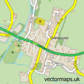
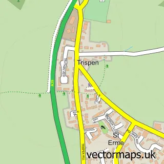
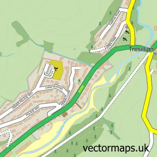
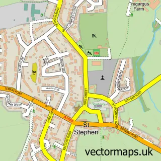
Nearby street map samples around Ladock

More street maps in Cornwall
750 metre map area coverage
Boundary, postcode and point of interest information for the 750m x 750m rectangle centred on this sample map.
Boundaries containing map centre
Constituency: Truro and Falmouth Co Const
District: Cornwall
Icb: NHS Cornwall and the Isles of Scilly ICB
Parish: Ladock CP
Police Force: devon and cornwall
Postcode District: TR2
Postcode Sector: TR2 4
Nearby boundaries intersecting sample
No additional intersecting boundaries found.
Postcode coverage
POI category counts
Pub: 3
Elementary School: 2
Accommodation: 1
Anglican Church: 1
Bed And Breakfast: 1
Building Supply Store: 1
Business Management Services: 1
Catholic Church: 1
Church Cathedral: 1
Community Center: 1
Sample points of interest
- Ladock Village
- Ladock: St Ladoca
- Bissick Old Mill
- Tig Welding Cornwall
- Ladock Post Office
- Ladock Parish Church
- St Ladoca's Church
- Ladock Community Hall
- Kirsten Deacon
- Ladock C of E School
- Ladock Church of England Primary School
- Higher Penvose Farm
Create a larger editable map of Ladock
This sample shows only a 750 metre area. To create a larger map of Ladock, use our map builder to choose your own coverage area, add titles and download editable SVG, PDF and PNG files.
Create a custom map of Ladock